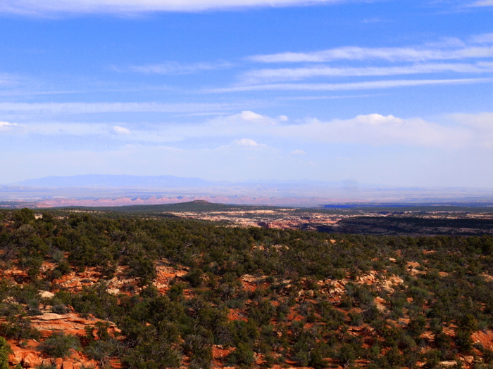
The southeast corner of the state will be the final region of Utah that we explore. This area of the state is part of the four-corners region where the boundaries of Utah, Colorado, Arizona and New Mexico meet. We began our exploration on the Cedar Mesa Plateau, an expanse of 400 acres bordered by Comb Ridge to the east, Grand Gulch to the west and the Valley of the Gods and San Juan River to the south. The Plateau is home to the largest concentration of Anazasi ruins in the four-corners area of the southwest. Strangely enough, even though it’s called Cedar Mesa, the area is actually covered with a mix of Juniper and Pinon Pine trees. I guess whoever named it confused the Juniper tree with the Cedar tree and the name stuck.
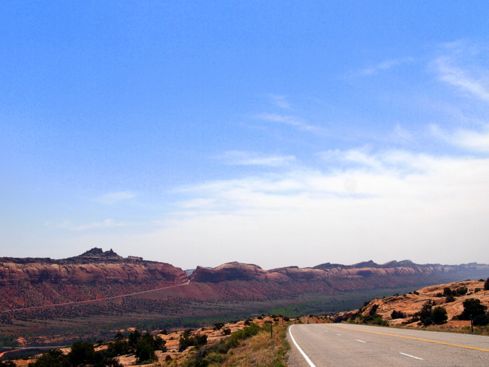
Much of Cedar Mesa is owned by the Bureau of Land Management (BLM), which means camping is free and plentiful. From our last stop near the Adobo Mtns. we drove south to Blandon, and then west on Route 95 through the mesa. Route 95 is the only major road that runs east to west through Cedar Mesa. All along 95 there are numerous dirt roads and pull-offs with tons of spots to camp. Not all of these roads and pull-offs are RV accessible, but with a little caution and common sense I think any size rig could find a suitable boondocking spot somewhere on Route 95. The easiest spot is in Comb Wash where a wide swath of land filled with Cottonwood trees and flat sandy terrain makes for a popular RV destination. The downfall to Comb Wash is that you will most certainly be near other campers. After so much time in Zion, and then Arches, surrounded by other campers we were really looking for a solitary existence, so we bypassed the wash in search of a more private spot. Lucky for us we arrived with some sound advice from a couple of fellow RVrs who had recently visited the area. They gave us directions to several roads that would be safe for us to travel with the airstream. This was extremely helpful because we are often hesitant to drive down small dirt roads with the airstream in tow without knowing what we are getting into.
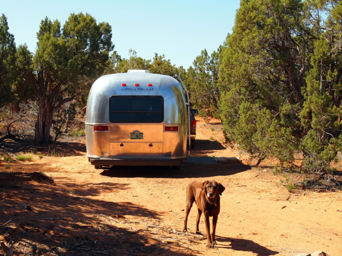
We ended up on Forest Rd 342, which is called Bailey S. Lower Rd. on Google maps. Here are the GPS coordinates for our location 37.539884,-109.755926. If you zoom way in and change the map to satellite view you will see the dirt pull-off where we parked. This was really the only spot on this road that we could have fit. There were a number of other spots, but either the spot was too small or the dirt spur to get to the spot was too skinny. After a few days of driving around the area we discovered several more areas that had some great boondocking spots. One was the next road to the west of us. I can’t remember the number posted by the road, but it had some great spots with awesome views of the mesa. The other area was on Cottonwood Road, a few miles to the east of Comb Ridge. We drove a portion of this road with the truck and spotted at least 6-8 different boondocking spots, some that could fit several rigs.
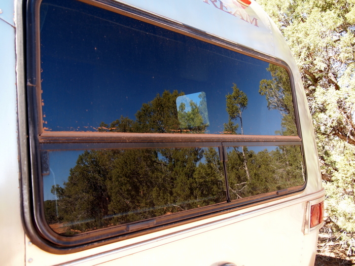
The biggest downside to boondocking on Cedar Mesa was the fine red dust that covers the land. By the time we settled in our site the outside of the airstream and truck were covered with this dust. After one day, the inside of the airstream was covered with red dust, and after one minute our brown dog was rolling and sleeping in the red dust. It made for a few dirty, dusty days.
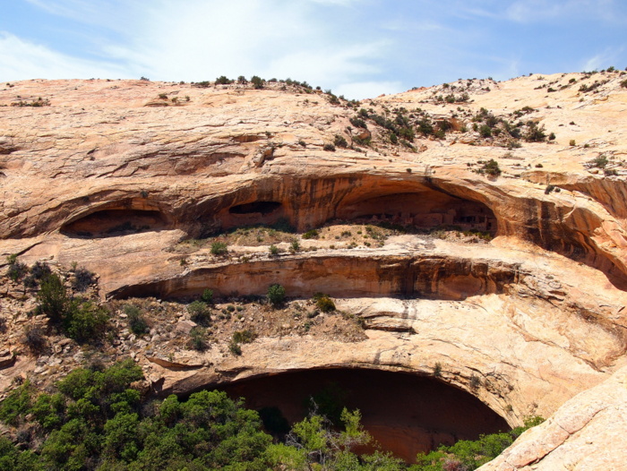
The Ancestral Puebloan Ruins are the reason most people visit the area. It’s hard to say just how many ruins are located on the Cedar Mesa Plateau because many have not yet been discovered. Some of the ruins are marked on maps and easy to find, and others are not. A quick Internet search revels the most popular ruin sites, but it is also possible with a little persistence (and a good GPS so you don’t get lost) to find them on your own. We started with some of the more easy to find ruins. One of the most popular sites is the Butler Wash Ruins. This area is maintained by the BLM with an easy to find trail and informative signs at the site. The Butler Wash Ruins are believed to have been built and occupied by the Ancestral Puebloans around 1200 AD. You can’t explore inside the ruins because they are set high up on inaccessible cliffs.
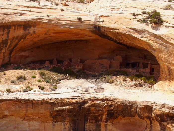
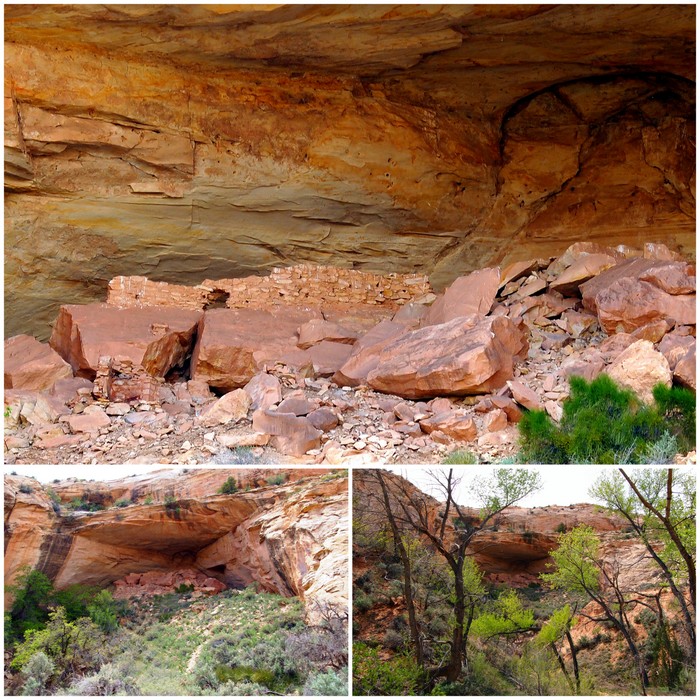
Here is a close up of the Butler Wash ruins. We visited in the afternoon when the sun was already behind the cliff, so unfortunately the ruins were in the shade and kind of hard to see.
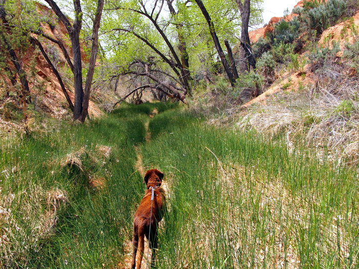
From the Butler Wash Ruins we hiked a quarter mile east to the trail head for Upper Butler Wash. You can also park at the this trail head if you choose. The walk up Butler Wash was a very pleasant stroll along a small stream lined with tall grass and Cottonwood trees.
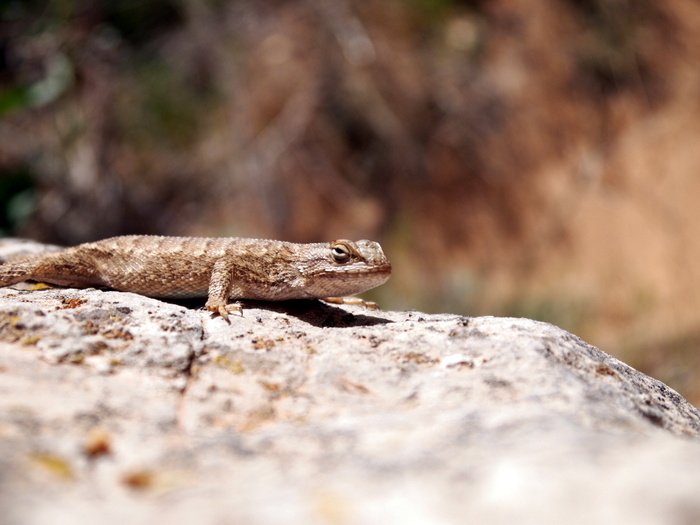
The lizards were out in amazing numbers scampering around and sunning themselves on rocks. This little guy stopped to pose for Tim. Why does it always look like they’re frowning?
About a mile up the trail we spotted a deep cave off to the left. This is the Ballroom Cave. There are a few visible ruins near the edge of the cave and lots of large boulders. We didn’t hike up and into the cave, but I later learned that we should have. After reading more about the Ballroom Cave I discovered that back in the cave lies more ruins and a few petroglyphs.
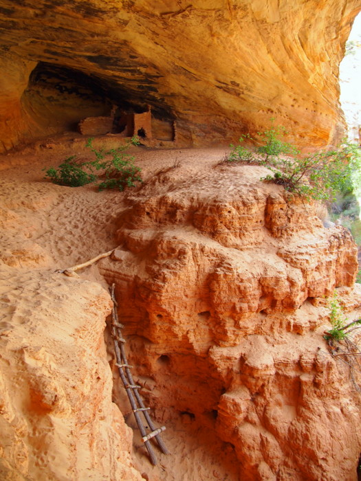
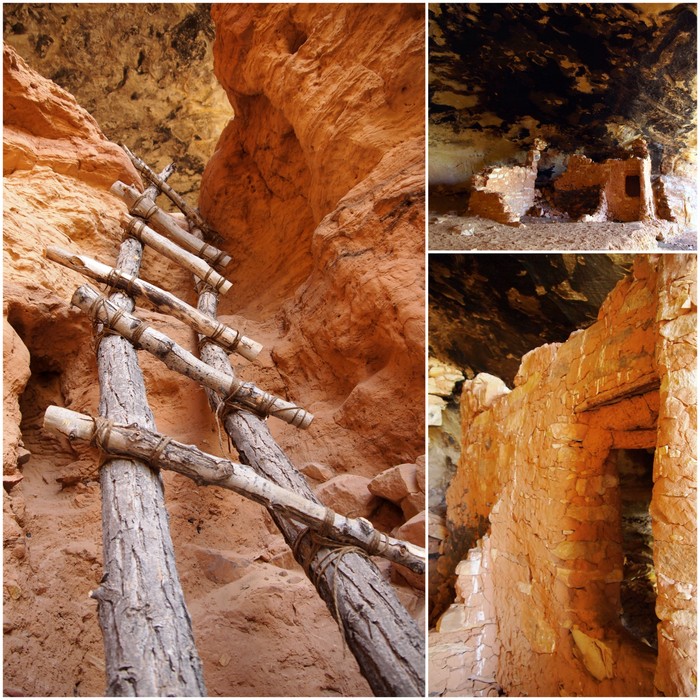
A few hundred feet past the Ballroom Cave we found another site with ruins. Even after an exhaustive Internet search I couldn’t find a name for these ruins, which is strange because they are obviously visited often. There is another ruins site nearby called Target Ruins. We thought that’s what we had found, but I later realized that we missed the turn for the Target Ruins altogether. I guess next time a little more prior research would be helpful.
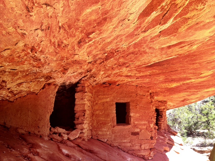
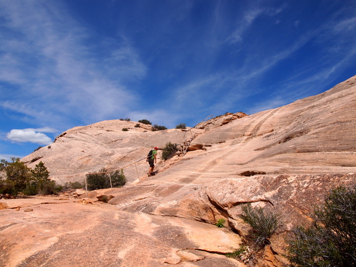
Another easy to find ruins site is in Mule Canyon. After a short one mile hike we spotted a well used trail off to the right. It lead up some slickrock to the House of Fire Ruin, named for the patterns on the rocks in certain light. This one was easy to walk up to and explore around.
Due to the deteriorating weather we only stayed on the Cedar Mesa for two nights. Therefore we only visited the tiniest fraction of the ruins in the area. If (when) we come back I want to explore the area east of Hwy 261 that runs north to south through the mesa. I found an informative website that provided directions and descriptions for some very impressive ruins on the east and west side of 261.
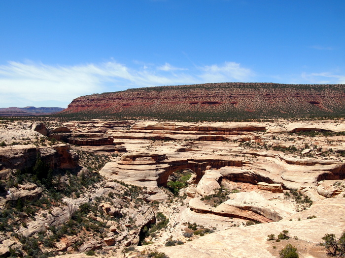
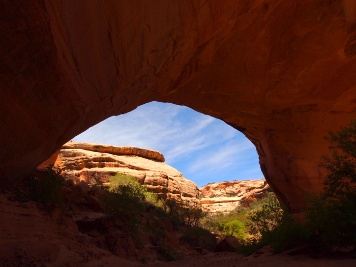
Another great draw to the area is the Natural Bridges National Monument. This fairly small national area is easy to explore in single day or even a few hours. The most popular ways to see the park are either by driving the 8.6-mile park road and stopping at the pull-offs to view the bridges, taking two short out and back hikes to each bridge, or hiking one of the six-mile trails that gets you up close and personal with several bridges.
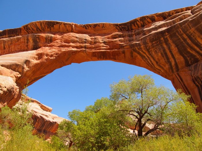
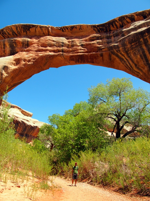
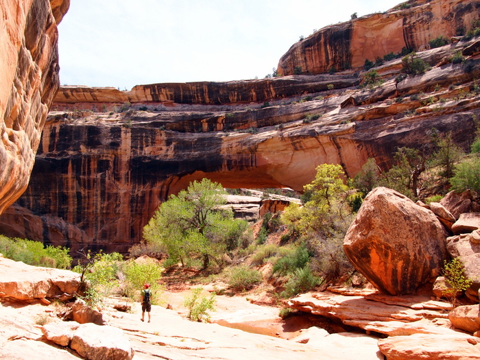
Since it was a nice day and we came prepared for a hike we chose the later option. The trail first took us down into the canyon under the Sipapu Bridge.
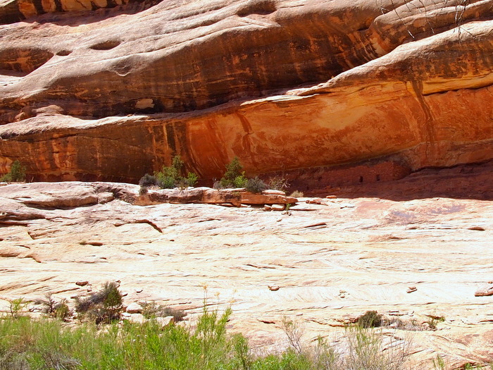
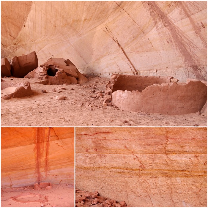
We then hiked along the canyon bottom to the next bridge. Along the way we passed some ruins tucked up in the cliffs.
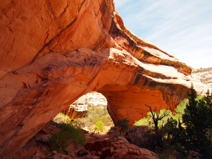
The second bridge was impressive for its width. The Kachina Bridge is a massive stone structure with a relatively small opening.
A few hundred feet past the bridge are some ruins and pictographs. The park ranger told us about another area of petroglyphs near the bridge, but after searching for awhile we couldn’t find them.
From the Kachina Bridge we hiked up and out of the canyon, and then almost two miles across the Cedar Mesa to where we had parked.
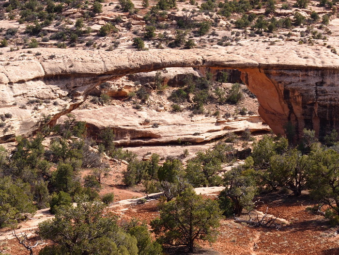
We continued on the park road to the final bridge, Owachomo Bridge. There is no trail that hikes down to this bridge so we viewed it from afar.
We wanted to stay longer and continue exploring the area, but with the rain that was predicted to fall over the next several days it didn’t seem wise. Our soft sand site was sure to become muddy and sloppy when wet, and getting our house stuck in the mud is something we try to avoid at all times.

6 comments
Thanks for sharing your travels. Love your blog.
Question about your granola bars. Do you use quick cooking oats? Or slow? They sound delicious.
Thanks!!
Tanya
I use the Old Fashioned Slow oats- but not Steel Cut. I think you could use the quick oats but since they’re smaller the consistency might be a little different.
Awesome round-up of the area. Glad you were able to find one of those hidden spots (appreciate the shout-out too!). You managed to hit quite a few places we didn’t go, so I’ve got some new things to add to our “list”.
Nina
We’re so thankful that you gave us good pointers. Randomly driving down those dirt roads could have gotten us in some trouble. I was overwhelmed by how much there was to explore in the area. If the weather had cooperated we would have stayed much longer.
Just to let you know, the term Anasazi is often considered offensive. People use the term Ancestral Puebloans, since the descendants of the people who lived on Cedar Mesa moved south, southeast, and southwest and regularly visit and honor sites on the mesa today. The connection to the past was never lost.
Thanks, Christine! I had no idea. I changed the wording here and on my more current post about the area from 2020. I also noticed that two of the websites I linked to in this post used the word Anasazi so I omitted the links. I really appreciated you sharing this knowledge and I’m going to leave this comment here so others can learn from it as well.