We’re currently traveling from Minnesota to Maine by way of Canada. We have ten days to complete the trip which should give us enough time to combine short drive days with fun stuff like hiking and kayaking. I’ve been keeping a daily journal and plan to post them periodically. Enjoy the first installment.
Day 1
We got a reasonably early start this morning and made it to the Canadian border around 9am. I had read in a few places that the International Falls crossing could be busy at times. That was definitely not the case on this Monday morning. In fact, I find it hard to believe that this tiny three-lane crossing in the middle of nowhere Minnesota ever really gets busy. I remember we once a long time ago crossed from Canada at Port Huron and had to wait on the bridge for what felt like forever before we even made it to up to the booth. That was a busy crossing…this one, not so much.
There was only one lane open and we pulled right up to the booth. After the usual questions about where we were from, where we were going, and if we had any weapons or alcohol, we were allowed to pass. This was the exact same easy experience as the last time we went into Canada with the Airstream. You always hear horror stories about people waiting for hours at the border while their RV is rifled through and left a mess in the search for “forbidden items”, so making through with no hassle is a definite relief.
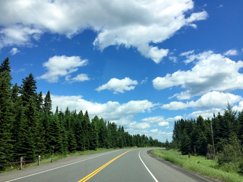
Our drive today was on long side — about 300 miles to the Kakabeka Falls Provincial Park near Thunder Bay. It was a very easy and uneventful trip through miles and miles of forest with occasional glimpses of lakes on both sides of the road. We made one quick stop at a nice lakeside picnic area for lunch and then continued on, arriving at the campground sometime mid-afternoon.
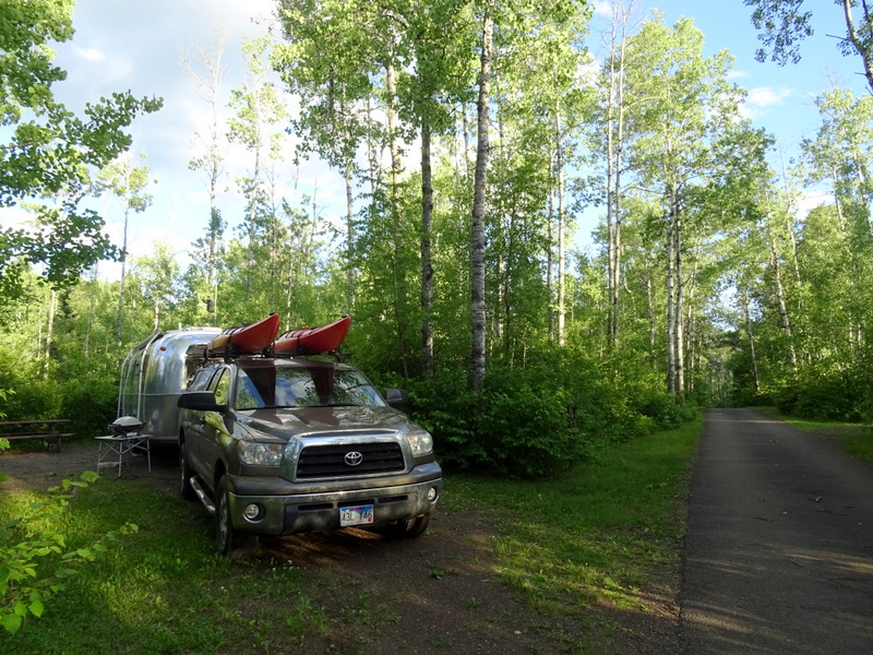
Much to our surprise the campground office is closed on Monday and Tuesday, and the sign on the door said to either come back and pay in the morning, or find a ranger to pay. So we drove around the mostly empty campground and found ourselves a spot for the night. The sites here are large, with lots of space between them, and surrounded by a dense forest. Our site was long enough that we didn’t need to bother un-hooking the truck which is always preferable for a single night stay.
It was already late in the afternoon so we lounged around for the rest of the day and then after dinner wandered down to see the falls.
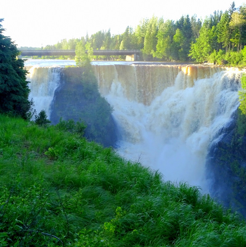
We found what looked to be a nice visitor center and camp store, but like the office, it was closed with a sign on the door saying it didn’t open until June 30th. So, that means it’s open for what, like three months? I guess the camping season is short up here is the far north.
Day 2
It was raining a little this morning so we lazed around a bit and had a late breakfast. Yesterday we crossed into the eastern time zone, and losing an hour messed us up a bit. I think Tim slept until nearly 10am. Which, of course, he doesn’t need a time change as an excuse to to do — because, vacation.
When we did get on the road we set off in the direction of Thunder Bay in search of a place to get a few groceries. With no Internet to lead the way we had to hope that we spotted something on the main road. Turns out that was not a problem. Tim saw a giant sign that said “Beer Here” and immediately found a place to turn into the parking lot for a store called The Real Canadian Super Store. Not sure if there’s some fake Canadian Super Stores out there, but we’re glad to know that this is the real deal.
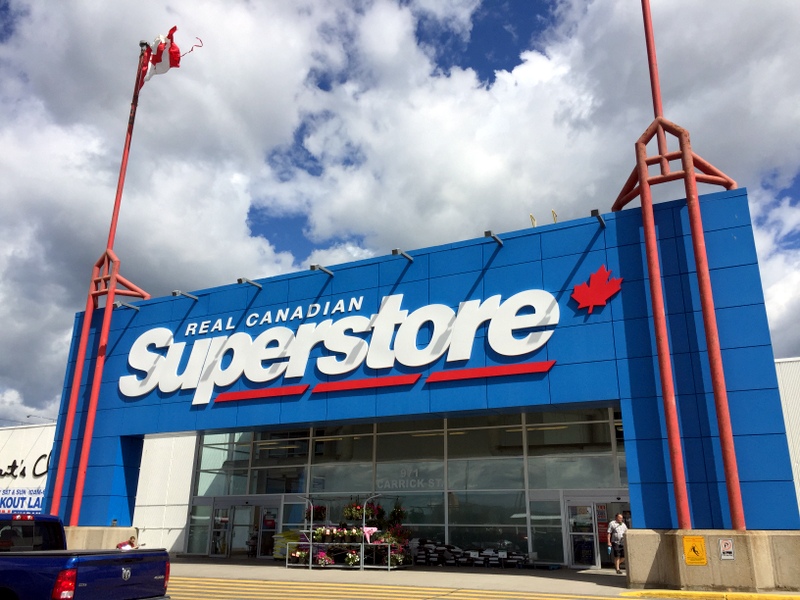
This place reminded me a little of a Fred Meyer in the U.S. Half the store was groceries, while the other half was housewares, clothing, outdoor stuff, etc. The grocery selection was both incredible and overwhelming. I could have spent an hour in the cheese isle alone. And the bulk food section was bigger than any I had ever seen. They had things that you never usually see in a bulk section — things like powered drink mix and cheese doodles, but also 15 different kinds of trail mix and every kind of flour imaginable. I couldn’t resist taking a few pictures of some of the more unusual items around the store (including Poutine flavored potato chips).
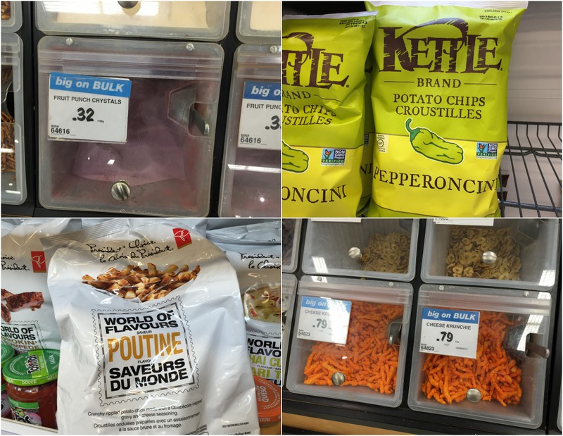
After our shopping was done we made our way out of town. With no Internet connection (since we’re officially on vacation we decided to go unconnected) our navigation system is a bit shaky. Normally, we use Google Maps for all our navigation. We also have a Rand McNally GPS that we used for a few years, but it doesn’t work well anymore, and frankly it’s far inferior to Google Maps anyway, so we never bothered to try and fix it. For this trip Tim downloaded a map system called maps.me to an old phone that we had kicking around. Once you download the maps they don’t require an Internet connection and they use the phone GPS to determine your location. It worked great on the first day, but this morning the phone was down to 5% and didn’t seem to want to charge in the truck. I guess there’s reason why we don’t use that old phone (we didn’t put the maps on our normal phones because they both have very little storage space left). So with that not working we might have made a few wrong turns while trying to leave town. Not a big deal, but a little reminder of how much we normally rely on the Internet.
We do have a paper atlas, but it doesn’t show a close up of Thunder Bay. I can’t tell you how many times I’ve been tempted to zoom in by placing my fingers on the map and doing the classic “zoom in” move. Technology has ruined me forever.
Once we were out of town It was another easy drive past lots of trees and one or two tiny towns. We are now driving around the top of Lake Superior and I was excited to see the lake a few times.
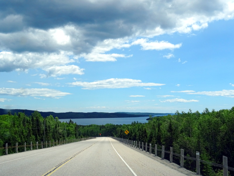
Soon we were pulling into Rainbow Falls Provincial Park. The park is split in two sections, with one campground on the lake side, and one on the opposite side where the falls are located. We chose the lake side. It’s a small campground with maybe 20 sites, some with water views and some tucked into the woods. We found a nice, grassy waterfront site and settled in for the day.
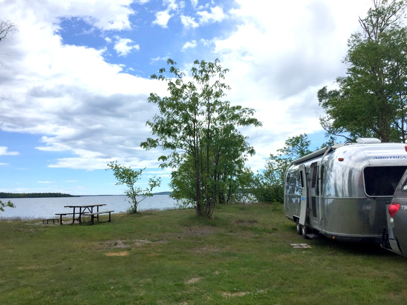
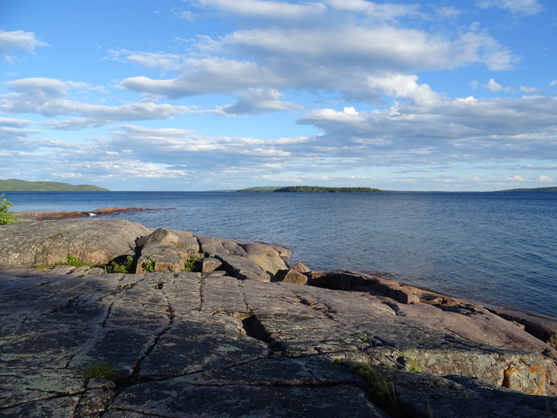
There are no trails here, and the water was a bit to choppy for kayaking so we lazed around the house all afternoon enjoying the view and the fact that there was nothing on the agenda except for relaxation. After dinner we took a little walk on the rocky shore. Tomorrow we’ll go see the falls.
Day 3
This morning we awoke to a lovely view.
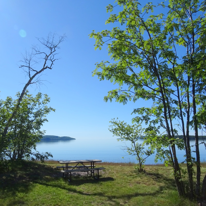
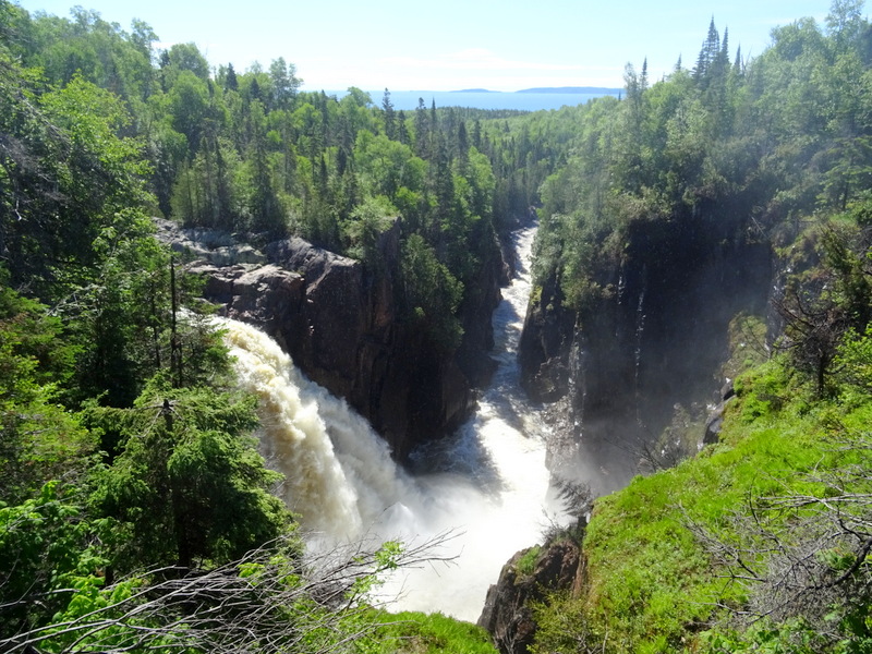
Our first stop was a few miles up the road at the other section of the park. There’s a small lake with a loop of campsites and some trails that follow along the falls. We walked the trail and admired the falls for a little ways before jumping back in the truck to continue driving. Today was to be another short distance drive, so when we saw a sign for the Aguasabon Falls we didn’t hesitate to check it out.
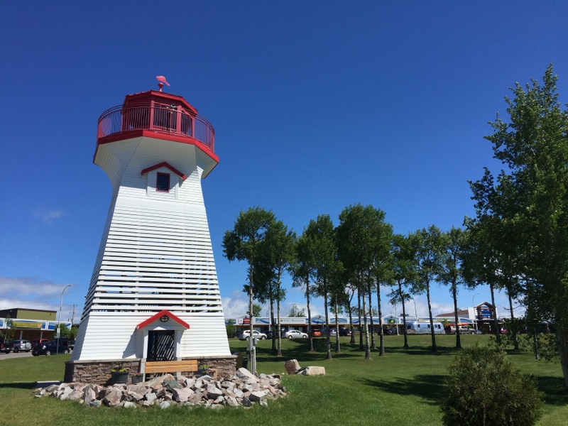
Next we stopped a few miles down the road in the tiny town of Terrance Bay where we spotted a lighthouse with a sign advertising free WiFi. I imagined that this was some famous lighthouse that had been moved to the center of town so more people could enjoy it. Nope. It was actually built here next to this little strip mall solely as a tourist attraction. I guess it worked because we stopped to see it.
Unfortunately, the WiFi was a mostly a bust. We were able to connect with our phones, but not our computers which meant all we could do was answer a few emails. Oh well. From Terrance Bay it was only another 20 minutes or so to the Neys Provincial Park. Once again we found a large, nearly empty campground. Man are we glad we didn’t bother making reservations anywhere. A couple people told us that the provincial parks in this area can be very busy, but we’re beginning to suspect that the camping season doesn’t start up here until July. That works for us.
The main attraction here is the beach. A long stretch of sandy beach scattered with driftwood lines the shore in front of the campsites. It looks nice, but we’re at the very top of Lake Superior and the cold wind blowing off the lake makes we wonder if the water ever gets warm enough for swimming.
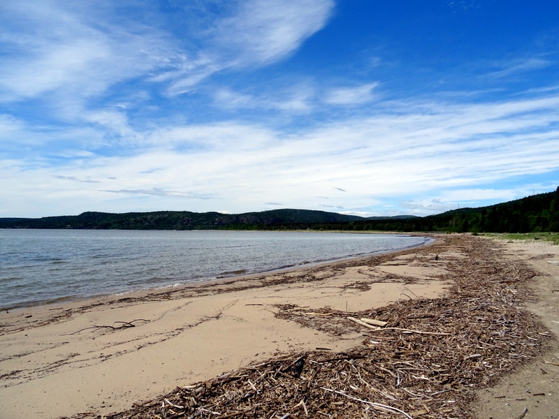
There are a number of hiking trails around the park, and after settling into our site we set off to explore a few of them. By combining a few trails together we managed to get in a somewhat challenging 6-mile hike along the water’s edge and up a steep, deeply forested slope.
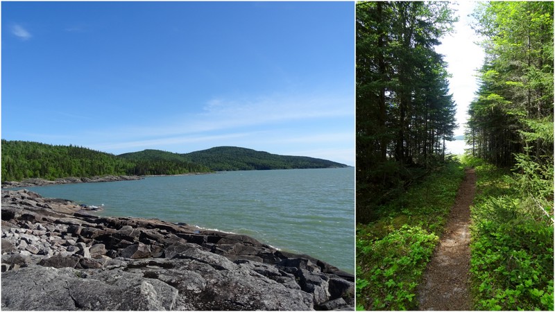
Day 4
Last night we had a brief discussion about taking the kayaks for a short paddle in the morning, but it was only in the 50s when we woke up, so instead we bundled up and took a brisk walk on the beach.
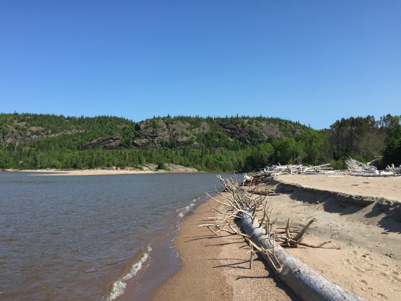
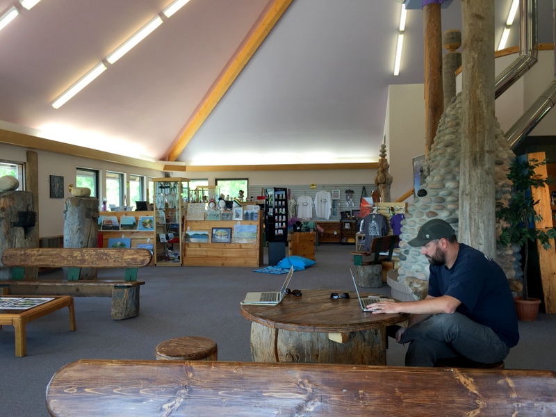
Our first stop this morning was the small town of Marathon where we got gas and drove around looking for WiFi. We found a few open networks, but nothing that we were able to connect to successfully. I really can’t imagine how frustrating it would be to rely on public WiFi. Fortunately, only a few miles outside of town we came upon a visitor center — I mean, visitor centre as they say in Canada– with free WiFi. After a quick lunch we went inside and hung out for about an hour taking care of a few things, looking at our route, and checking the weather.
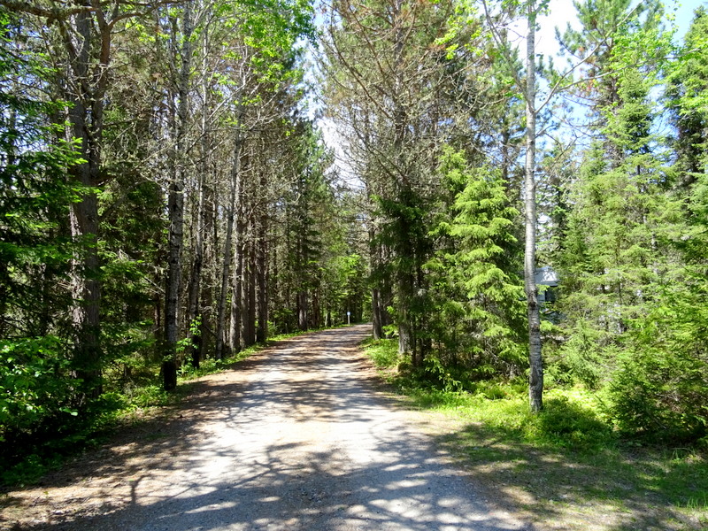
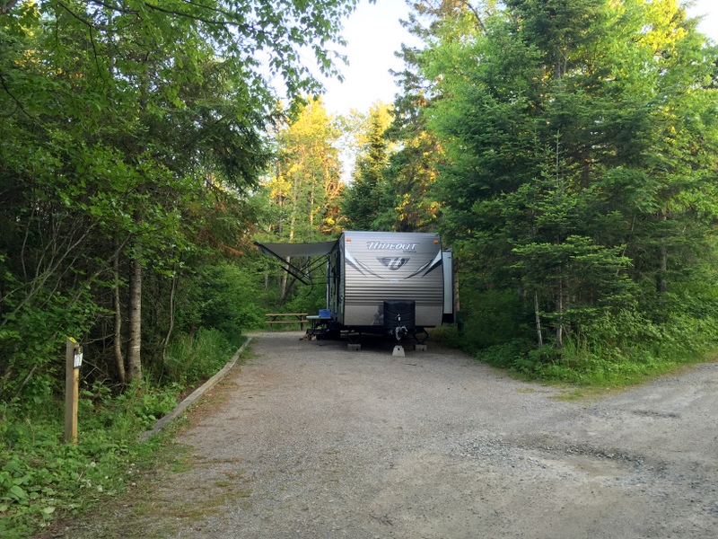
A short half hour drive later and we were pulling into the Pukaskwa National Park. Once again, you guessed it, the campground was only about a quarter full and we had our pick of sites. Obviously, this isn’t a picture of us, but I didn’t get a good one of our site and wanted to show how nice they are.
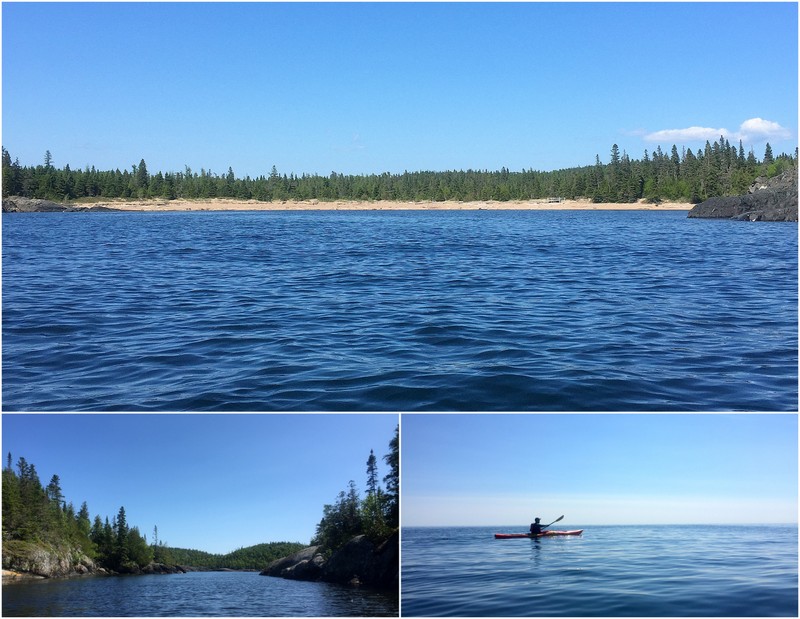
The national park is large — nearly 2,000 square km — but the majority of it is only accessible by foot or boat. It would be fun to come back here for some kayak camping one day. There’s a long coastal paddling trail that runs north to south along the lake with numerous campsites along the way. For today we settled on a two hour outing around Hattie Cove and along the coast to a few wild and remote beaches.
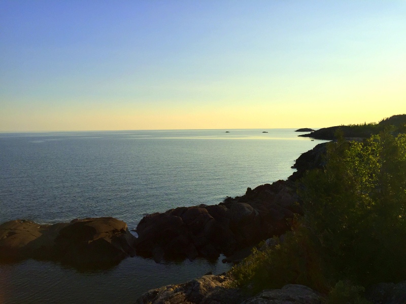
We’ve been wondering why more people from the U.S. don’t visit this part of Canada? Everyone raves about the beauty of Banff and Jasper, but I have talked to very few RVers who have explored the northern edge of Lake Superior. Not sure why since it’s absolutely stunning up here. Not to mention that the campgrounds are plentiful, well-run, and reasonably priced (we’ve been paying between $32 and $36 per night U.S. which is comparable to most state parks). This is definitely an area we plan to return to for a longer stay someday.

13 comments
This certainly was the time of year to visit places with waterfalls. Boy, the water was really rushing…gorgeous. I can just imagine how loud they were. We haven’t done this section of Canada yet ( we loved the southern side of Superior), but we enjoy the country everytime we go there. It is nice to see that Verizon now has made data use much more cost effective. At $2 a day we will probably add that next trip. Last time we only added the voice for $10 a month, data was ridiculously expensive. Finding a Tim Horton’s gets old fast. Where are you crossing back in to the US? My mother lives on the St. Lawrence River just a few miles from the Thousand Island Bridge crossing.
Someday we’d like to travel the entire Lake Superior loop! Verizon (and T Mobile) have certainly made it cheaper to get service in Canada. We decided not to get it because we both really needed a forced break from the Internet. It was good, but also made us realize how much we rely on it for routing and research.
How are the mosquitos? I didn’t know you could leave the trailer hooked to the truck!
They’ve been really bad in the evenings, but if we take the kayaks out on the water we can get away from them :)
Love all of your photos – the water is gorgeous. How wonderful to find parks without the big summer crowds – definitely an incentive to make our own visit. The lighthouse is so funny – they knew what they were doing :-)
Apparently, school ends later here, and campgrounds don’t get busy until sometime in July. The weather is cooler in June, but we do love a nearly empty campground!
We plan on taking that route in the next year or two so thanks for sharing, we look forward to your posts about Maine as well!
Have fun! We loved all the provincial parks and could have easily spent the rest of the summer exploring the lakes region.
Welcome to Canada. We love the coast of Lake Superior although the water seldom really warms up save for various protected coves. I also recommend Lake Superior Provincial Park further south – especially the main campground which I believe is Agawa Bay.
The crowds will definitely change this weekend as it’s a long holiday weekend which also dovetails with the 4th of July in the U.S.
We did go to Lake Superior park and it ended up being our favorite one!
You guys are finding some GREAT spots and I definitely will mark these as places I’d like to see on the bucket list. Waterfalls especially! As for border crossings – I’ve not heard of anything crazy going IN to Canada – it is coming into the US I hear of all the horror stories (and definitely have experienced more weird questions and scrutiny coming back myself).
is gas a lt more expensive in Canada
.?
Is the US dollar priced high enough to make Canada affordable?
At the time of our visit the conversion rate made gas cheaper in Canada.