Thanks so much for all the comments and emails in regards to the new blog format. It’s nice to hear from so many bloggers and readers who understand and support the need for change.
Sunday, September 24
This whole summer we had been planning to spend the fall in Utah. Both our previous visits were in the spring and the thought of experiencing this beautiful state in a different season was pretty enticing. Originally, the idea was to explore the northern mountains until it got too cold and then move south. Just like this summer, we had no set plans, no reservations, and no obligations until Thanksgiving.
So it’s not without a little disappointment that today we left the mountains behind after only a short two weeks. I think it’s time to find some warmer temperatures. That cool mountain air we yearned for during our week in Boise turned out to be a little too cold.
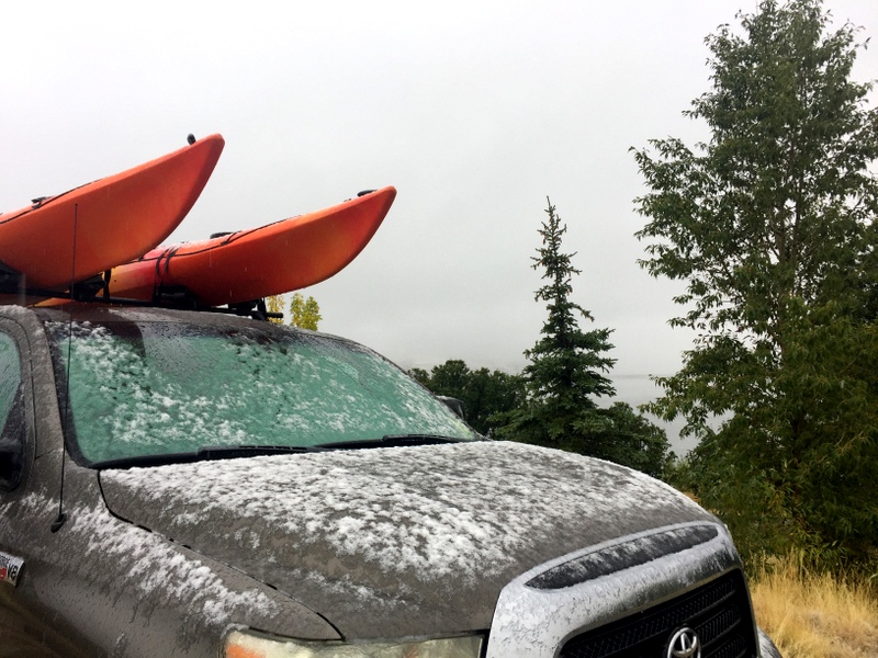
Time to head south!
To be honest, our decision to abandon the mountains is about more than just the cold weather. It’s still early enough in the fall season that I’m sure if we stuck around we would have a few weeks of warmth. In fact, here in Park City, it’s supposed to be back in the 60s next week. But the thing is that we’re not really feeling it around here. After Colorado and Idaho, these mountains lie firmly in the moderate range in terms of scenery and hiking. I know, I know…we’re totally spoiled.
Also, we had wanted to head east into the Unita-Wasatch national forest. But with little to no cell service except for around the edge of the forest, that was not going to work for us. And with most of the campgrounds closed or about to close and the boondocking options slim, I’m not sure where we would have stayed anyway. So with not many options up here, and no desire to spend another week in Park City, it was time to head south.
It rained and snowed all night, but with none of the white stuff sticking to the ground we made the decision to leave right away. The steady cold rain helped speed up our outdoor routine and soon we were hitched up, filled with fresh water, emptied of grey and black water, and heading down the road with the heater blasting.
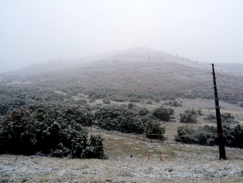
No snow on the road, but the trees were getting a good coating
After a few hours of driving through the snow/rain mix, we finally made it out of the storm. Nothing but dry roads and clear sky ahead. Our destination was the Little Grand Canyon of Utah. To get there we followed Route 6 south and then east over Soldier Pass. Turning south again we passed a handful of indistinct tiny towns before hitting the 20-mile dirt road that would lead us to our destination. It was a well-maintained smooth stretch of road that passed through rolling fields of sagebrush which gradually gave way to a windblown dwarf evergreen forest before reaching a massive crack in the earth called the Little Grand Canyon.
I think this might be the 10th “grand canyon” that we’ve seen. Every state seems to have their own version. Usually, they pale in comparison to the real deal. This time, I have to say, Utah might have a real contender.
At the fork in the road, we stopped to consult the BLM sign and consider our options. Go right to sites 8-10, or left to sites 1-7? According to the reviews I read on Campedium, the right side contains a large group site and several pull-off type sites near the canyon rim. This is also where we would find a viewpoint called the Wedge Overlook.
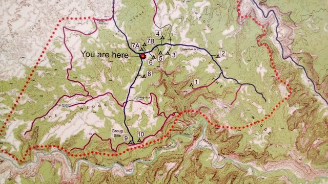
The camping area – sites 1 and 10 contain multiple camping spots
Sounds nice, but I had also read that the sites in the other direction offered more privacy and even better views. So left it was. We passed sites seven through two. Some were big enough for multiple RVs and a few offered distant views. We kept driving all the way to end of the road until we reached another fork in the road with an old sign void of any marks. Hmmm…which way? A quick decision led us to the right.
Soon the road narrowed and made a sharp turn at the edge of the canyon. We passed 4 or 5 signs indicating campsites and many logs and rocks blocking off other areas. I’m all for dispersed camping, but because people tend to be jerks about treating the land with respect, I’m also all for these areas where the camping is restricted.
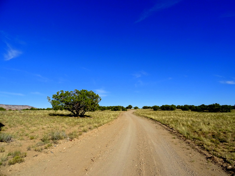
Even though this is BLM lands, the camping is restricted to marked areas only
By this point, Google maps was indicating that we no longer on a road. Tim was getting nervous about finding a spot to turn around, and I was getting nervous because I was the one who told him to come down this way. Normally we stop and walk an unfamiliar road, but I had read several accounts of the area and was 98% positive that we would be okay. So we kept following the narrow, curvy road trying our best not to acquire any more desert pinstriping from the wind-blown junipers and pinyon pines lining the road. That effort failed, but we did find the most perfect site overlooking the canyon all the way at the end of the road.
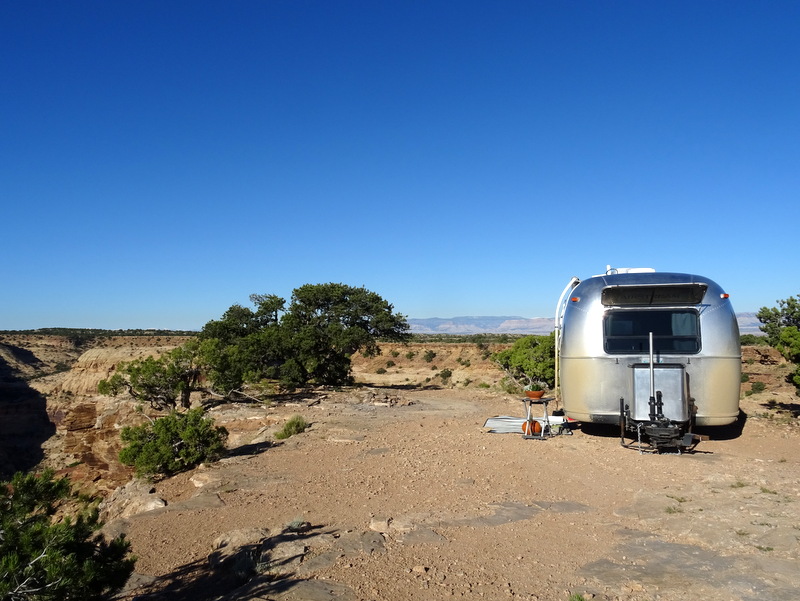
The perfect site
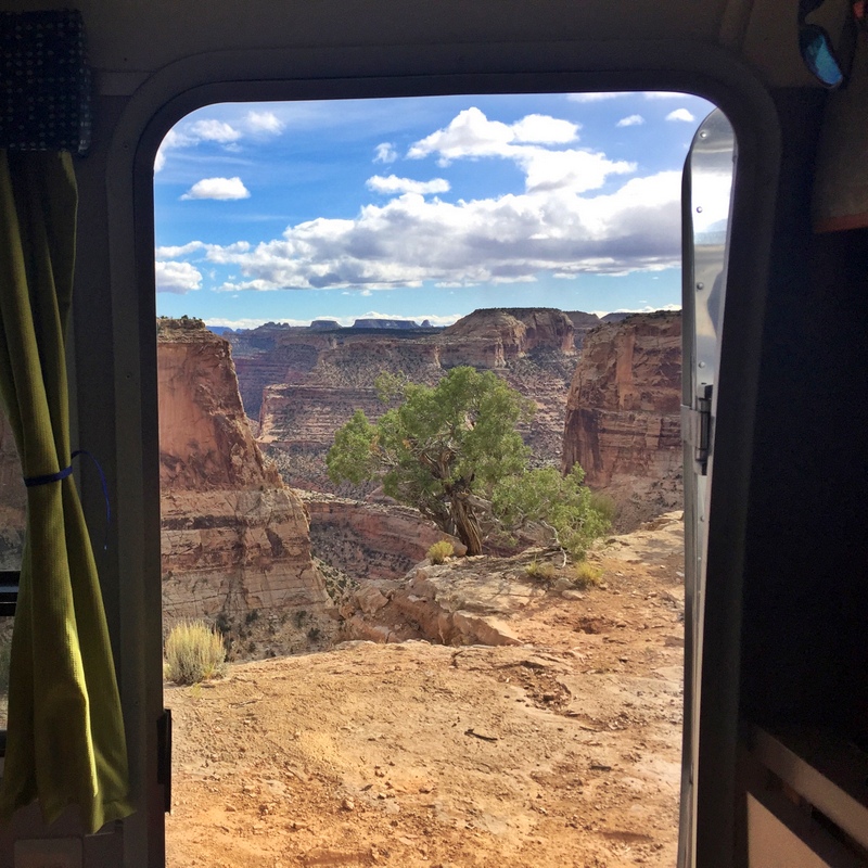
How’s that for an out-the-door view?
Yes! So much yes! This is what Utah means to me. Red rocks, jaw-dropping views as far as the eye can see, and large swaths of remote, public land free for us to use. Thank you Utah! This is going to be a great week.
Monday, September 25
I woke up this morning feeling like a giant weight had been lifted. The last few weeks of heat, smoke, cold, rain, sickness and just a general feeling of blah, has completely disappeared out here among the rocks and wide open vistas. There’s no doubt that we made the right decision to leave the mountains behind.
It also feels good to be back in a place where we have outdoor recreation options right outside our door. The Good Water bike trail starts (or ends) pretty much right next to where we’re parked. The trail follows the rim of the canyon for 15 miles ending at the other camping area and the Wedge Overlook.
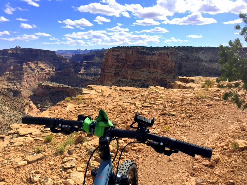
A short afternoon ride on the edge of the canyon
Thirty miles round trip on a rocky, somewhat technical trail is a bit too long for an after work ride, so we set off to ride halfway and then turn around. We only made it three miles before Tim got a flat tire. For some stupid reason we had neither a patch kit or a pump with us — my old bike had a small bag attached to it where we kept these things, but it’s not on the new bike. So we turned around and walked back. Fortunately, we were able to take a shortcut up a wash that shaved a few miles off the walk.
Tim quickly patched the tire and we set off again. This time we rode down the camp road and over to that fork in the road where we turned right yesterday. Here we discovered roughly half a dozen campsites widely spread out along the road. Some overlook the San Rafael Swell and the Buckhorn Draw. I’m very happy with our spot, but this area is a good option for people who want a nice view without parking on the edge of a 1,000-foot cliff :)
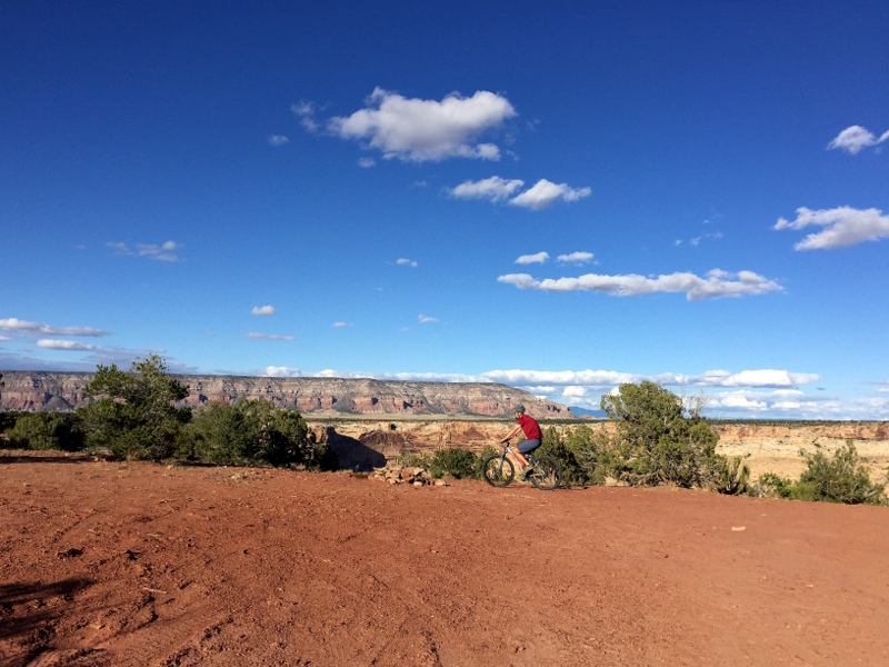
A nice view even without all that canyon drama
Tuesday, September 26
It has been a really, really long time since we parked our home in a spot where we get to see both the sunrise and the sunset. This morning I braved the cold outside to watch the sun rise over the canyon walls.
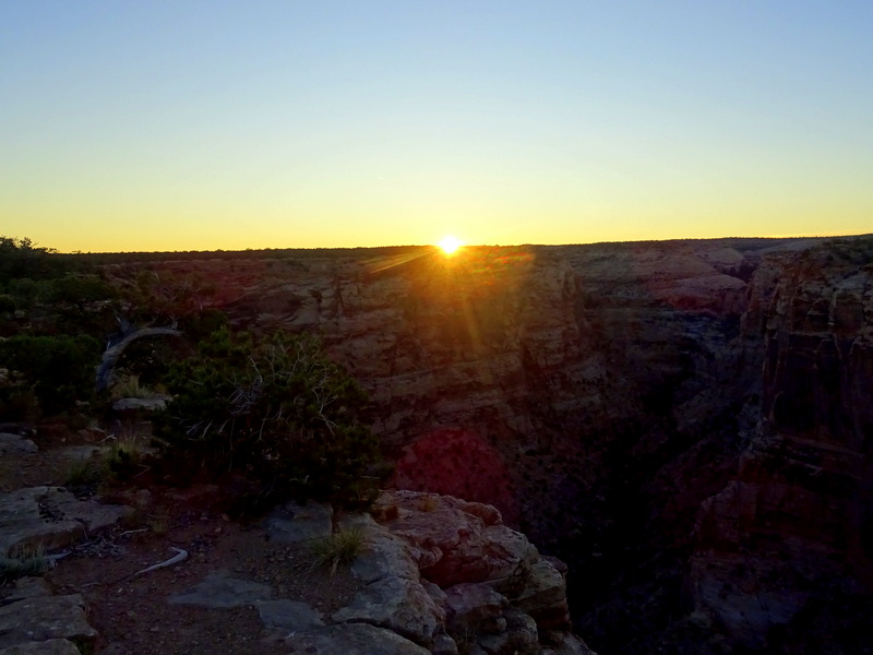
Good morning sunshine!
Later Tim went down the road and took some photos of us from the end of the canyon. Ummm.. we knew we were on the edge of the cliff, but from this perspective, it looks nuts!
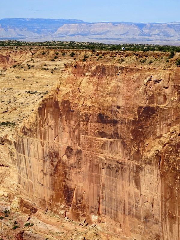
We really are “living on the edge”
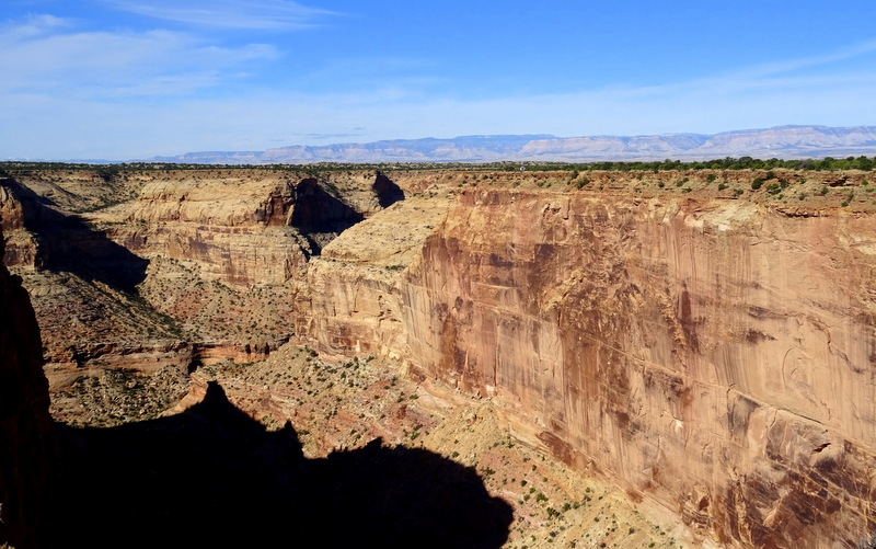
Can you see us?
We made attempt number two on the Good Water Trail this afternoon. No flat tires this time and we rode about 8 miles until we reached campsite #5 and then turned onto the main road for a smooth (uphill) ride back home.
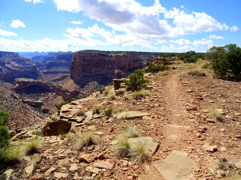
Our second attempt at riding along the rim
We sat outside for awhile after getting home and then went out again after dinner to watch the sunset. I’ve noticed that when we’re in a campground we rarely sit outside, but when boondocking we tend to spend hours simply sitting and enjoying the view. The solitude here this week has been most welcome.
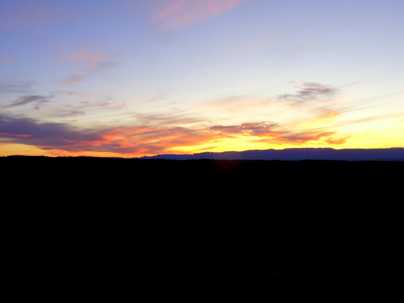
The sky showed off for us tonight
Wednesday, September 27
We drove over to the other end of the trail this afternoon and rode 7 miles and then back on the dirt road. Because the trail follows every twist and turn along the canyon rim, while the road takes the more direct route, we ended up riding 7 miles of trail and 2.5 miles of road.
Splitting it up like this turned out to be a great way to ride the entire trail in the time we have available. I suspect lots of people use a car shuttle and only ride in one direction a 30 mile out and back on this kind of rocky trail would be a really, long way. Of course, I have no way of knowing what most people do because the whole time we’ve been here we’ve only seen one other group of riders on the trail and a handful of campers spread along the road.
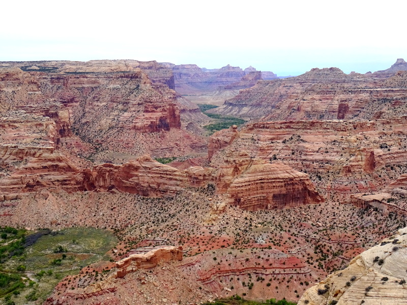
Whoa…
I’m not sure if it’s just the time of year, but this doesn’t seem to be a very popular or well-known area. Which is surprising given all there is to offer. But then again, this is Utah where stunning views and plentiful camping are found nearly everywhere.
This trail has further confirmed how much I love my new bike. The improved fit and functionality have helped me enjoy biking more, and this week I’ve discovered another advantage — bigger wheels. My old bike had 26” wheels and this one has 27.5”. The 1.5” increase provides a noticeable difference on trails such as this one where I’m riding up, down and over a lot of rocks.
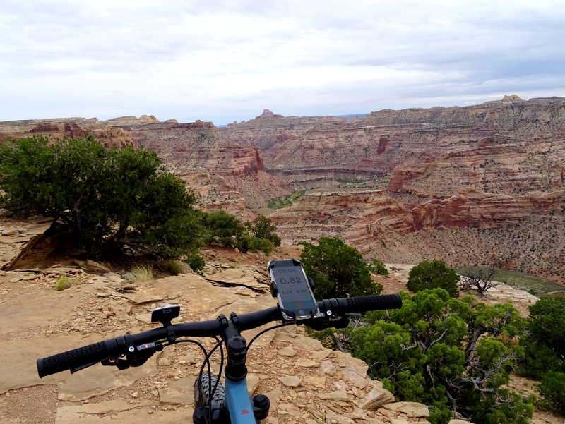
Most mountain bike sites list the Good Water trail as intermediate. I would say that rating is spot on. It’s not a hard trail in that the elevation gain and loss is minimal, and the rocky, technical sections rarely require more than a 12” climb or descent. However, this is not an easy trail in that it has many, many sharp twists and turns and the near-constant presence of rocks means you need to pay close attention and pick your line carefully. Also…there’s the whole riding next to the rim of canyon thing to watch out for.
Thursday, September 28
We’ve been up in the air all week about where to go next. Our desire to both visit new places and revisit old favorites is complicated by our need for Internet and the potential for some cold weather at higher elevations. After deciding a return visit to Moab was out (been there done that) and looking ahead at the weather, I think we finally have a plan. A plan that allows us to spend a few days playing in the red rocks and climbing around the slot canyons near Goblin Valley State Park and still make it to an area with a decent cell signal before work starts on Monday morning.
So…since we’ve now made the decision to leave after work tomorrow that means we only have one more day to explore the area. And there was still one big thing I wanted to do. This area of cliffs, canyons, amazing rock formations, and open prairie that we’ve been hanging out in all week is called the San Rafael Swell. It was formed long ago when the earth rose up into a giant dome or “swell” roughly 80 miles long and 40 miles wide. Over time, wind and water carved and eroded this land into a wild jumble of multi-colored sandstone filled with buttes, canyons, pinnacles, and mesas.
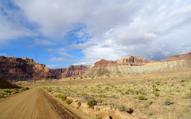
Roughly divided into a north and south sections by I-70, the northern half is accessible mostly by dirt road and as a result, sees very few visitors (at least compared to the more crowded nearby national parks). The main road through the northern part of the swell is called Buckhorn Draw. This well-maintained dirt road snakes through a narrow valley with steep cliffs towering on either side. There are several attractions in the canyon including ancient art, the San Rafael River, and even a dinosaur footprint.
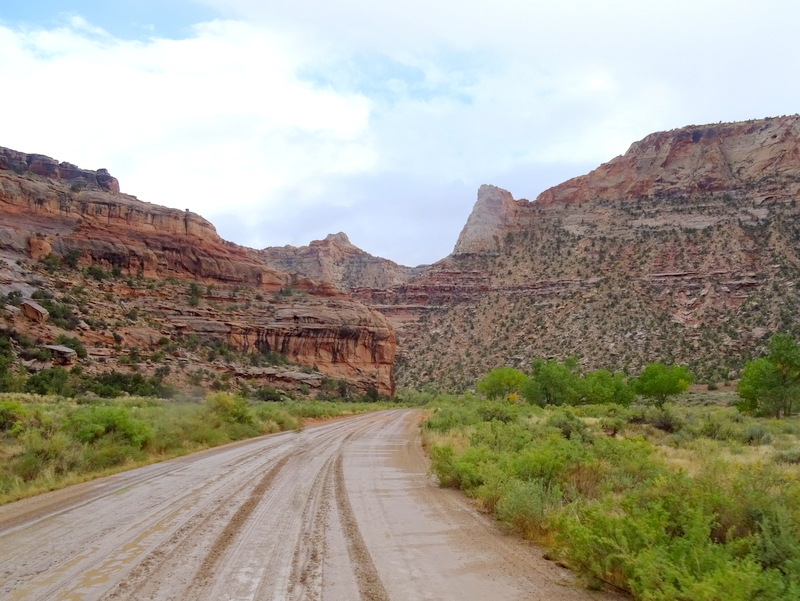
The 30-mile dirt road through the Buckhorn Draw is in great condition although on the muddy side from the recent rain
From our camp spot, it was about a 10-minute drive to start of the draw. The threatening rain clouds opened up only minutes into the drive. We drove past the first few attractions hoping it would stop. Sure enough, by the time we reached the large pictograph panel the storm had passed.
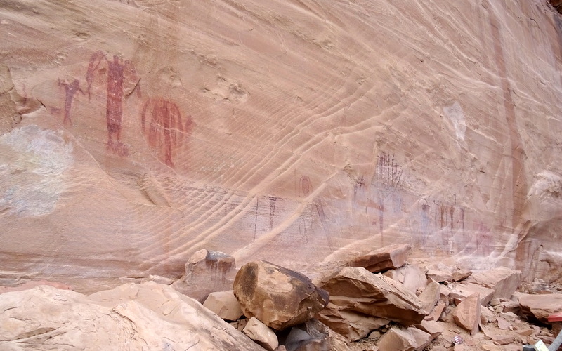
These pictographs are estimated to be over 2,000 years old.
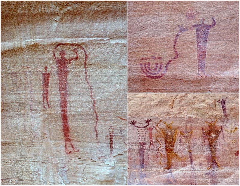
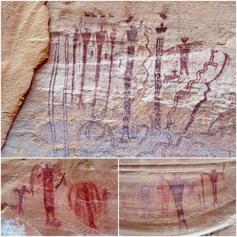
Continuing down the canyon we stopped at the river to see the small campground and walk across the historic swinging bridge.
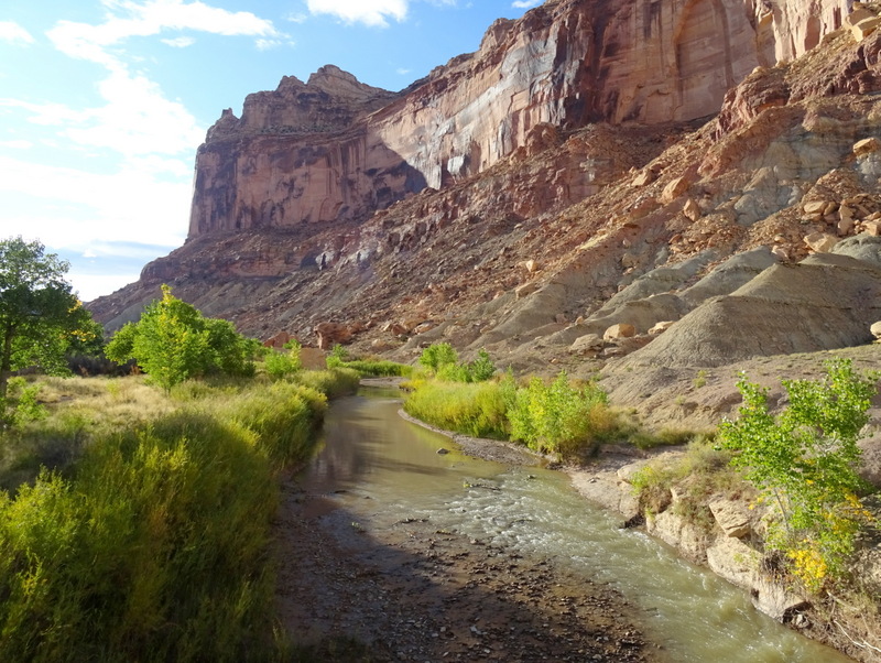
The San Rafael is a popular spot for floating and kayaking – just not at this time of year
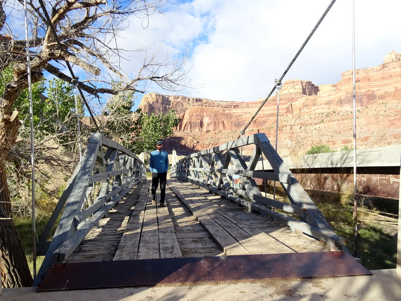
Constructed between 1935-37 by the CCC this suspension bridge played a vital role for the ranching community in the area who used it to transport sheep and other livestock safely across the river.
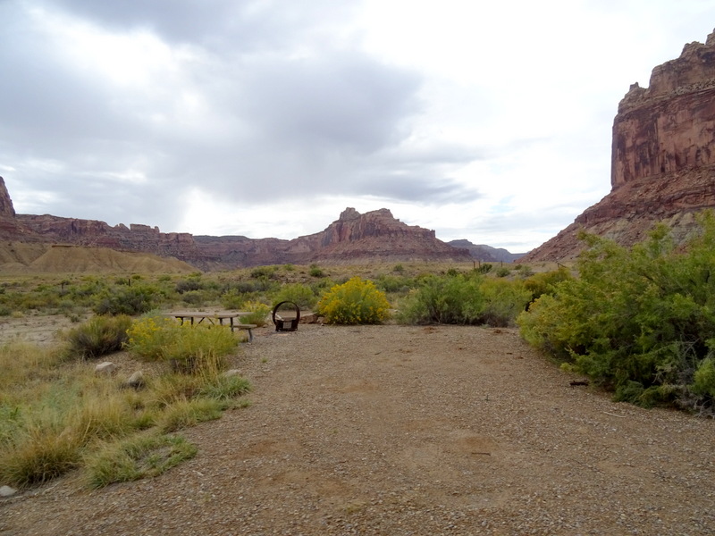
The BLM operates a small $6/night primitive campground next to the river.
As the canyon widened we passed more rock formations and before coming upon a high desert prairie area with an occasional dirt road splitting off from the main route. We took one of those roads and found a scenic boondocking spot with a strong LTE signal! Something to remember for the future. There are numerous marked dispersed camping areas all along the canyon, but with all those tall rocks no cell signal so this is a great find.
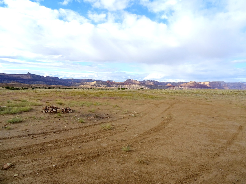
Boondocking with a view…and a cell signal!
On the way back through the canyon we stopped at the attractions we had skipped over when it was raining. First, an area of petroglyphs from the Freemont people who lived here roughly 1,000 years ago.
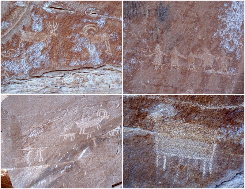
More rock art
And then to see the dinosaur footprint!
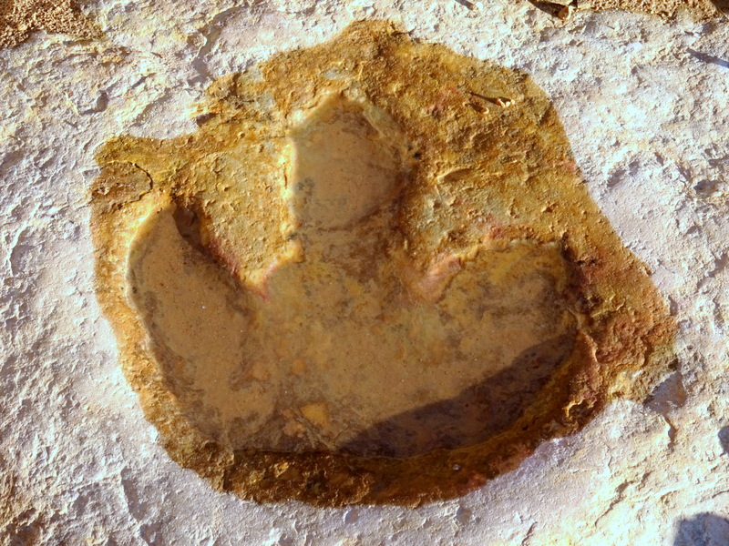
A water-filled print from a very large animal
Buckhorn Draw was definitely a worthwhile side trip. I think we even decided to go that way when we leave with the Airstream tomorrow. I mean, we’re already covered with dust and mud. Might as well embrace it with another 30 miles of dirt road.

22 comments
That is one stunning camp site! And the solitude…perfection! It is a wonderful feeling to change your environment, and Utah red rock country is the very best kind of change!
Thanks for the report on the new bike, Hans went from a 26″ to a 29 and loves it and he keeps telling me that going to 27.5 would be a nice change for me. I just might do it some day.
Yup, it was exactly the change that we needed. Tim also has a 29″ aand loves it. I had no idea moving up to a 27.5 would make such a difference. I highly reccomend it!
What a great campsite! That’s an area we haven’t yet been in Utah but it’s going on the list.
My 29″ mountain bike is great, it’s the wimpy rider that’s the problem.
Hope you get to hike the 8 mile Little Wild Horse/Bell Canyon loop near Goblin Valley. Lots of fun rock scrambling and so much beauty.
We’ll be in the Zion area for the next few weeks. Give us a shout if you are in the vicinity.
Gayle
This area is definitely worth exploring. I had never even heard of it until a month ago when I read about the bike trail. Stay tuned for another post about our experience in Goblin Valley :) We’ll be down in Zion at some point. Will reach out if you’re still around.
Love the campsite!! In July I had to make a mad dash from Colorado to California and I went thru the San Rafael Swell on I-70. It was beautiful and I’m glad to learn about this boondocking area. Can’t wait to go back to that area. And I want the spot right on the canyon that you had :)
I remember seeing the Swell from I-70 a few years ago. Definitely an area worth exploring.
Wow, what a location! We will definitely have to add it our list of places to visit.
A must visit for sure!
What a wonderful post! You’ve shown us the beauty of places we’re unlikely to see (or brave) – many thanks!!
So happy to take you along for the adventure :)
Yes, “winter” comes early to the high country (tho, I live at 9000ft in the Colorado Rockies and we haven’t had snow yet). I suggest Goosenecks – near Monument Valley. I think it’s a Utah State park (?) but I do know you can pull up to the canyon edge. Not sure about the cell service (but I did have service in Monument Valley.
We’ve been there! We spent two nights there 4(?) years ago when it was still free. Parked right on the edge of the canyon. No cell service there at that time.
How are the camping sites out there. It looks like there is no dispersed camping, so how the close are the camping sites to each other?
On the map I posted, sites 1, 2 & 10 are areas with multiple dispersed sites that vary in distance from each other. Most offer at least some privacy. The other sites are large marked areas big enough for one or more RVs and are spaced quite far from each other.
I have a question, did you reach this campsite via the San Raphael bridge campground? it looks amazing and I would love to explore the area.
We arrived from the north so we didn’t pass the Sand Raphael Bridge CG. However, on the way out we went that way past the CG and over the river. It’s a long dirt road from either direction, but the views amazing! You simply can’t go wrong spending any time in that area of Utah. Enjoy!
Do you take route 405 straight down to get to this campsite?
Yes, we came from the north so we took 405 to get there. It is a long dirt road, but at the time was in good shape.
We are headed there in about 10days, fabulouso share pictures and information, thank you!
I’m planning a trip to that part of Utah very soon, hopefully it won’t get overly hot in early June. Will also visit the Goblin valley area and camp at Temple Wash. I’m thinking of making the approach to the Wedge either from the north, then exiting through Buckhorn Draw and then heading south, or else doing that same loop in reverse. I’ll be pulling a small trailer (17 foot Casita). The other option, if the Buckhorn route was not worth the effort, would be just to day trip that road, then exit the same way we come in, to the north. Any advice? Any concerns pulling a trailer on any of those roads?
We arrived from the north and left through Buckhorn draw going south. We pull a 25′ foot trailer and the roads were not a problem, just dusty and bumpy in spots. Be aware that we visited in September of 2017 so I can’t give you info on current road conditions.
Just yesterday my friend told me about this site (#1), which I believe is the same one. We are towing a 15′ A-Liner, if I were to get to the site, and someone was already there, would I be able to turn around? Many thanks!