August 12-18
Olympic National Park is vast, giant, and remote. Located way up on the tippy-top corner of western Washington, this park is not one you can fully explore in a weekend (or even a week or two). With three distinct ecosystems and a lot of road between them, seeing it all is nearly impossible for most people on vacation, and even more difficult for those of us who combine work and travel. Add in the fact that a large portion of the park is only accessible via multi-day backpacking trails and you have the kind of national park that one could conceivably visit over and over again and still only see a tiny fraction.
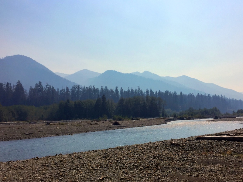
Wildfire smoke along the Hoh River – there is no escaping it this summer
The first time we visited Olympic National Park in the fall of 2012, we made a whirlwind loop around the park with a just a few days each in the mountains and on the beach along with a day trip to the rainforest. These days, Tim’s work schedule (along with the wisdom that comes from doing the whole full-time travel thing for a while) means we no longer take whirlwind tours of anything. This time around, instead of trying to see it all, we chose a few places to call home for a week at a time and set out to explore from there.
Our home base for our first week in the park was the Minnie Peterson Campground. This very small road-side campground is operated by the Washington Department of Natural Resources. The overnight camping fee is either $10/day or free with a Washington Discover Pass ($30 annual fee). The Discover Pass gets you into Washington state parks for free and is required for parking at many trailheads, making it a good investment for anyone exploring the state. After visiting two different state parks and spending seven nights at Minnie Peterson, our pass has already paid for itself three times over.
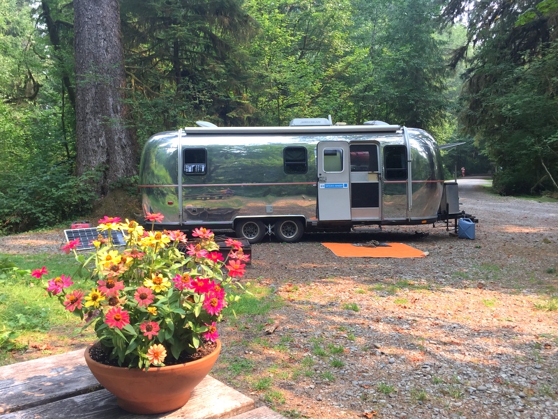
Not bad for free!
The nine sites at this campground are tucked into a dense forest alongside the access road for the Hoh Rainforest Visitor Center. Considering the fact that the road ends at the visitor center, it was very busy with near constant traffic during the day. Aside from the road noise (which virtually disappeared at night), this was a pleasant place to spend the week.
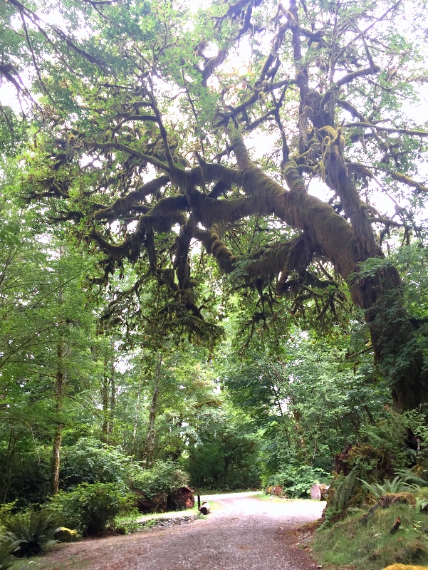
We call this the spooky Halloween tree
The sites vary in size but I think with some creative parking we could have fit in any of them. We choose one of the larger sites, number 3, in hopes that we could get some sun for our solar panels. No such luck. A bit of dappled sun lite up the far corner of our site, but never touched our rooftop panels. After one day of moving the portable panel every 30 minutes to capture the shifting patches of sun, Tim gave up and pulled out the generator. It only gets used about once a year, but it’s still worth hauling it around as we could have never stayed here for a week without it.
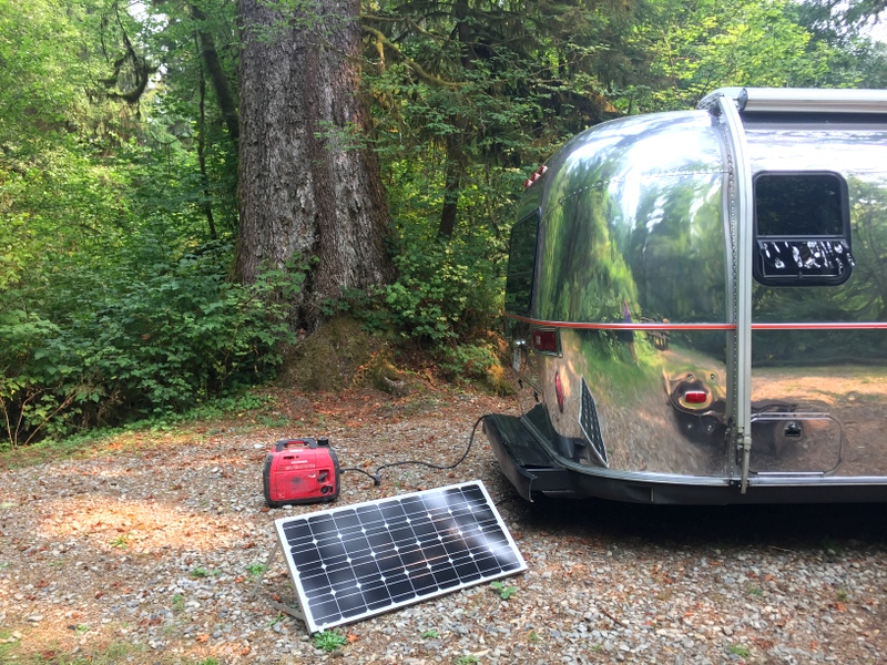
Camping in a rainforest means breaking out alternate sources of power
Fortunately, as is the case with most campgrounds near national parks, virtually all the campers left to explore during the day meaning we could run our generator for a few hours in the afternoon without bothering others. I absolutely loathe the sound of other people’s generators which makes me hyper-aware of any noise pollution we might be inflicting on others.
The cell service at Minnie Peterson was great with both Verizon and AT&T rocking some fast speeds. The signal dropped off only a mile or two past the campground making it the better choice over the campground inside the national park. I went over there one afternoon to fill a jug of water and drop off the trash (Minnie Peterson has neither a dumpster or a water spigot). It’s a pretty nice campground and all the sites are first-come, first-serve which means you might actually have a chance of getting a site without reserving a year ahead. When I visited on a Friday I was surprised to see two open sites.
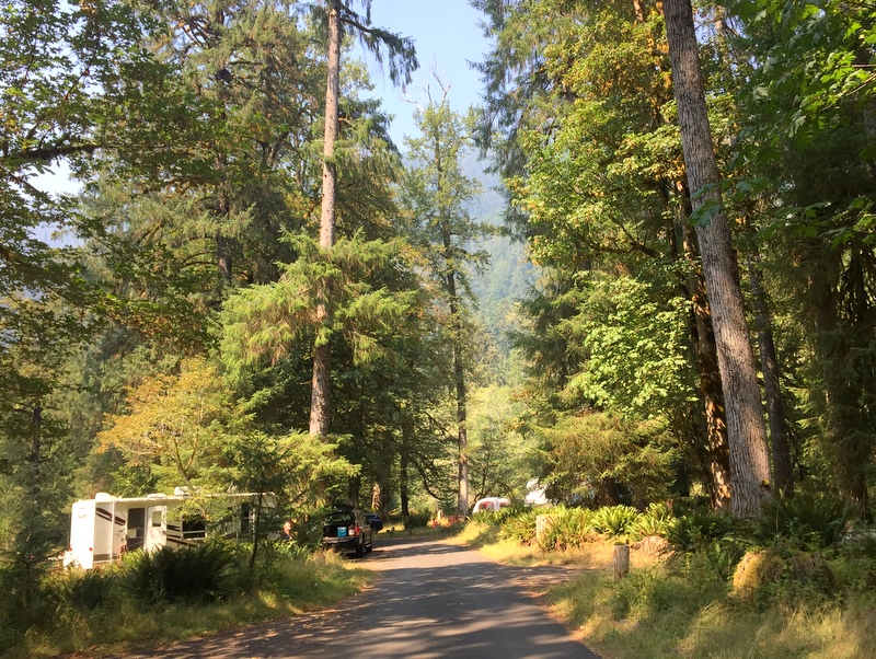
The Hoh Campground
Back at Minnie Peterson, we had a few down days due to the fact that there is really nothing to do near the campground without getting in the car and driving. We tried crossing the street and accessing the Hoh River but were immediately thwarted by a thick line of trees and steep bank. We also tried walking alongside the road which worked out okay, especially when we found the masses of wild blackberry bushes, but there is zero shoulder and the speed limit is on the high side so it wasn’t an ideal situation.
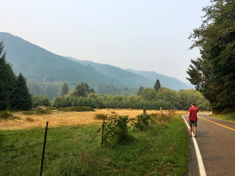
Not the best road for walking but the view was nice
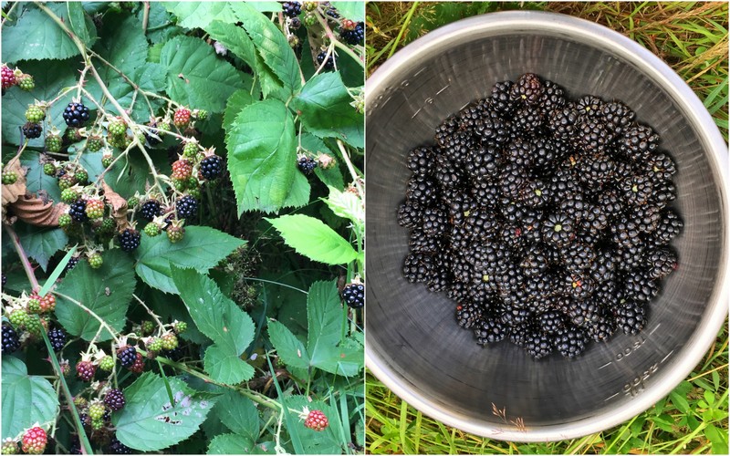
This had been the summer of berries…I can’t tell you how happy that makes me :)
With few options for exploring outside our door, we got in the truck a couple times and drove down to the park for some hiking. First up was a portion of the Hoh River Trail. This 17- mile backcountry trail travels all the way to the base of Mount Olympus. Most people, us included, only ever see the first few miles. We ended up hiking roughly 3-miles to Tom’s Creek to see the waterfall before turning around. The trail is absolutely gorgeous with moss-draped trees and giant ferns making you feel like you are walking through the set of Jurrasic Park (minus the people eating dinos).
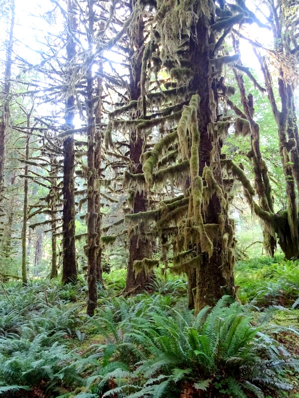
Expecting to see a Velociraptor around every corner…
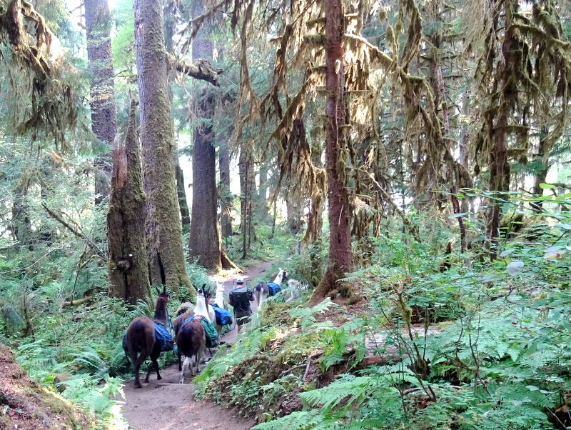
Instead, we saw a pack of llamas!
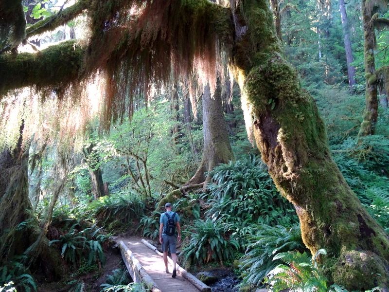
Passing under the moss curtain
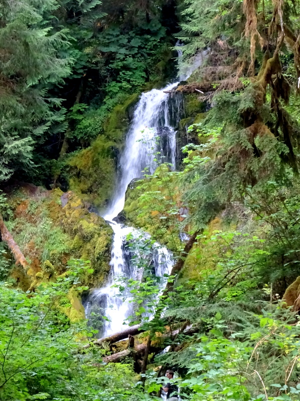
Rainforest waterfall
Another day, we hiked on the Hoh-Bogachiel Trail. The trailhead is located inside the park boundary but before the entrance station and miles from the visitor center. It doesn’t show up on the park’s trail map, and as a result, we had it completely to ourselves.
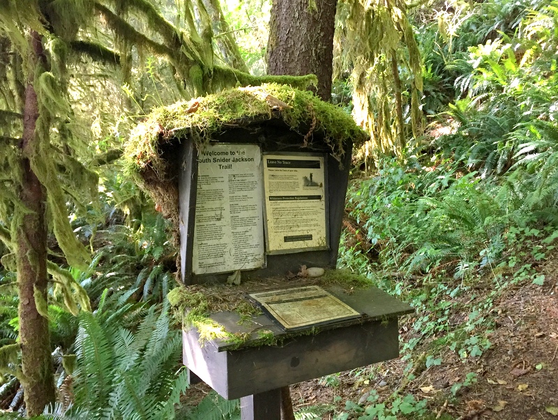
Nothing escapes the moss around here
This trail is no joke as it climbs a LOT of elevation in a short distance. After weeks of nothing but flat walking on the beach, we picked this route in an effort to get some real exercise. With no sweeping vistas and nothing but forest to look at, we figured it might be boring, but it would at least be good for us. Turns out we were right about the exercise part (so steep) but very wrong about the boring part. This is no ordinary forest.
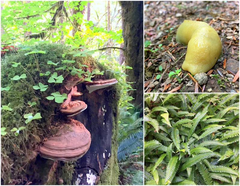
Rainforest treasures
On our final day, we left Airstream behind and took a trip to the coast for a day of beach walking. Not just any beach walking though — this was a full-body workout hike. The Wilderness Coast Trail travels along the coast of the Olympic Peninsula for over 70 miles. Our intention was to hike the 6 miles between Third Beach and Toleak Point. As we found out when we tried to park near the trailhead, this is a very, very popular hiking and backpacking route. After parking semi-legally along the road about a half-mile from the actual parking lot, we made our way to the trail that would take us to Third beach.
It’s a little more than a mile of walking through the forest before you start to hear the ocean. Suddenly, the trees open up and from a vantage point high on a cliff, and you can see the vast Pacific Ocean stretching out in front of you.
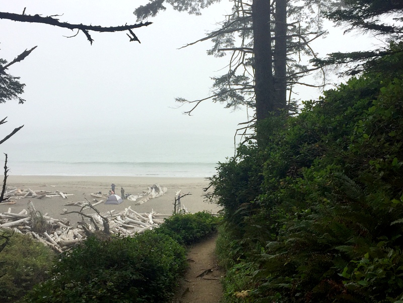
Oh come on…you didn’t think it would be bright & sunny, did you?
We scrambled down the steep trail, climbed over a tangle of massive driftwood logs, and walked through the sand to the water’s edge. Despite the number of cars jammed into the trailhead parking lot, we were still surprised by how many people were on the beach. Lots of tents as well. There are a number of designated camping areas along the beach and as it was fairly early in the morning, most campers were still hanging out in or around their tents.
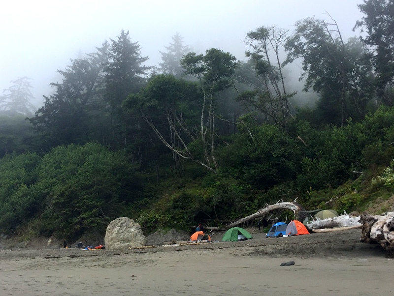
Tents on the beach above the high tide mark
The reason for our early start was because this hike is best done at low tide. Not only does hiking the trail at low tide open up some really cool opportunities for exploring the tide pools, but it also means the difference between wet and dry feet (or in extreme cases not making it through at all) on some sections of the trail.
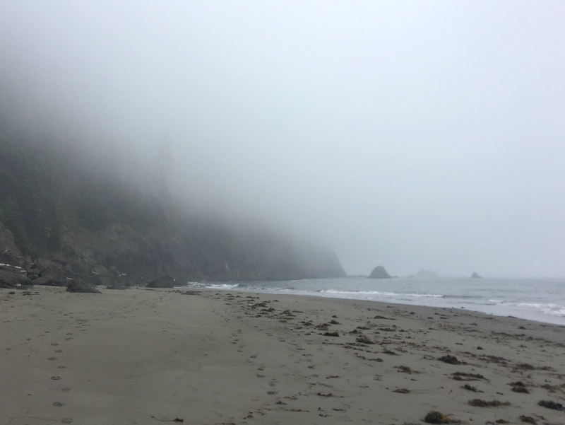
The fog was out in full force
No matter what the status of the tide, there are a few areas where the beach is impassable and the only way around is climbing up and over. These headland trails, as they are called, require you to climb up a steep bank to the top of the cliff, hike through the forest, and then climb back down to the beach. The extreme slope from the beach to headland means you have to haul yourself up the bank using ropes as a climbing aid. In other words, so much fun!
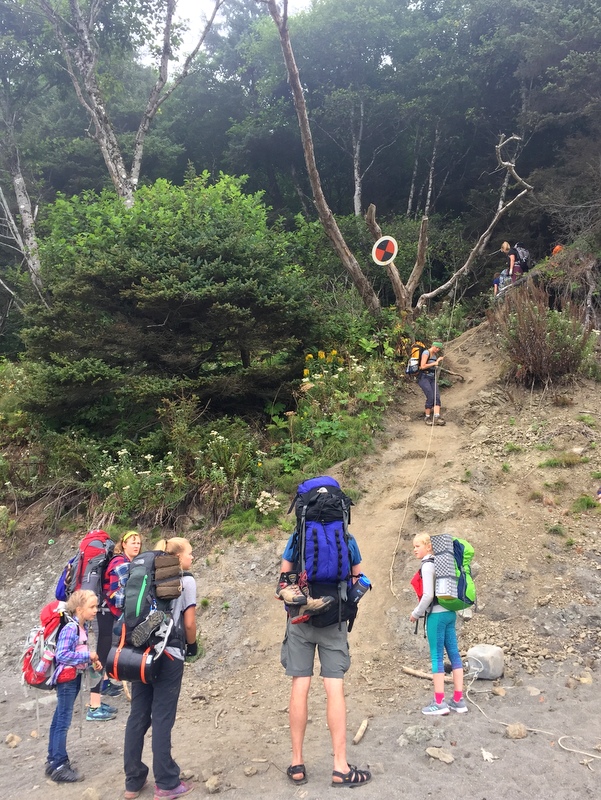
Waiting our turn to climb. As you can see, this is a very popular backpacking route for families
Ther first headland trail was long. Maybe even a few miles long. After the initial rope-aided climb, we had to make our way up a couple more steep sections with ropes, including a really cool floating ladder type thing.
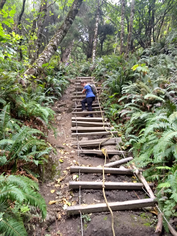
This stair/ladder/rope combo thing was fun
At the top, we were treated to a view of the ocean below. Well…a view of some sort. The fog made it a little hard to see.
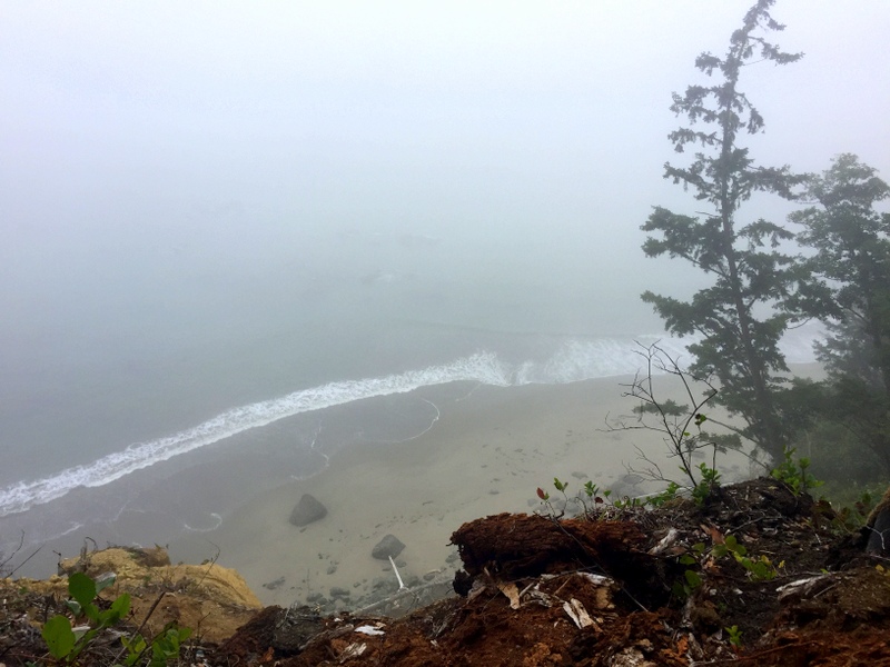
Peering over the edge
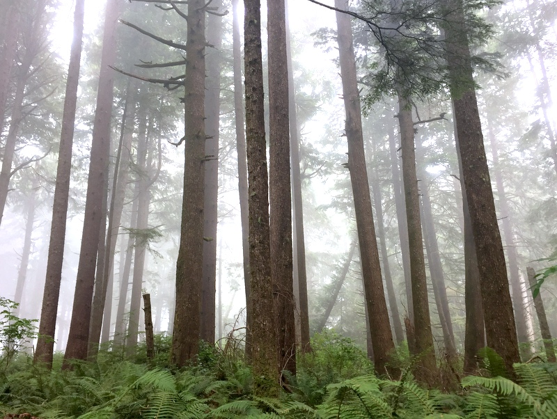
Fog in the forest
The way down the other side was easier with a real set of wooden stairs leading down directly in front of giant sea stack. As much as I am so done with the persistent clouds, fog, smoke & drizzle around these parts, I am also totally in awe of this wild and rugged coastline.
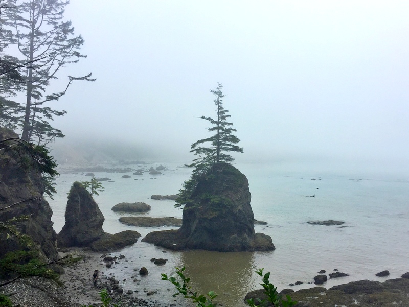
No words for this view
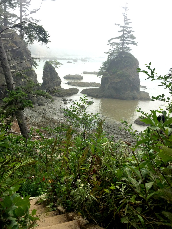
Stairway to another world
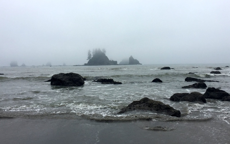
Sea Stacks
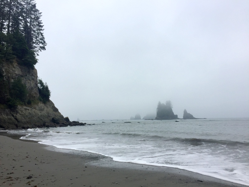
End of the line – time to climb again
The second headland trail climb was even steeper than the first. While the rope was a helpful aid on the first climb, it was an absolute necessity on the second. You basically had to pull yourself up hand over hand while trying not to let the rope tangle between your legs.
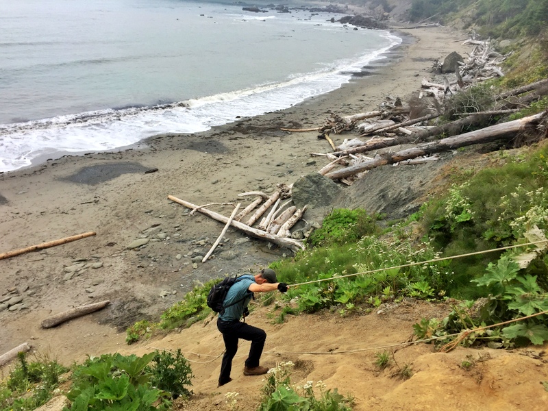
Not your ordinary beach walk
The beach walking portion of this hike was easy peasy with lots of hard packed sand to walk on. We kept going for six miles until we reached Toleak Point. After finding a suitable piece of driftwood for lunch, we explored the tide pools and then slowly made our way back up the beach.
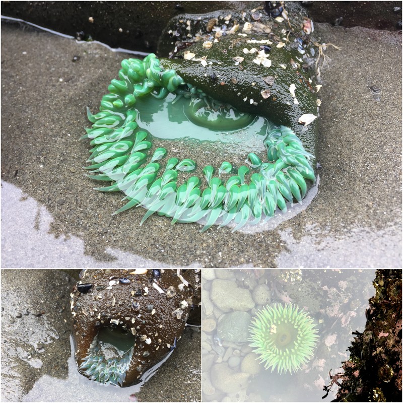
Did you know that Sea anemones can retreat inside themselves?
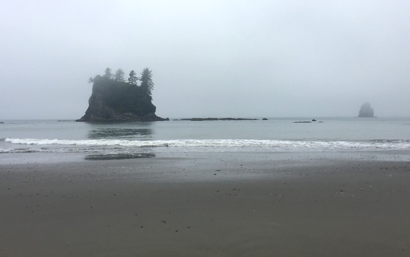
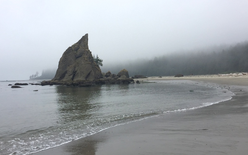
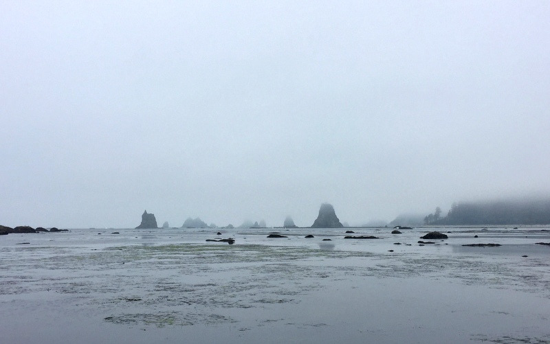
The sea stacks look like the ocean version of the hoodoos we saw in Utah
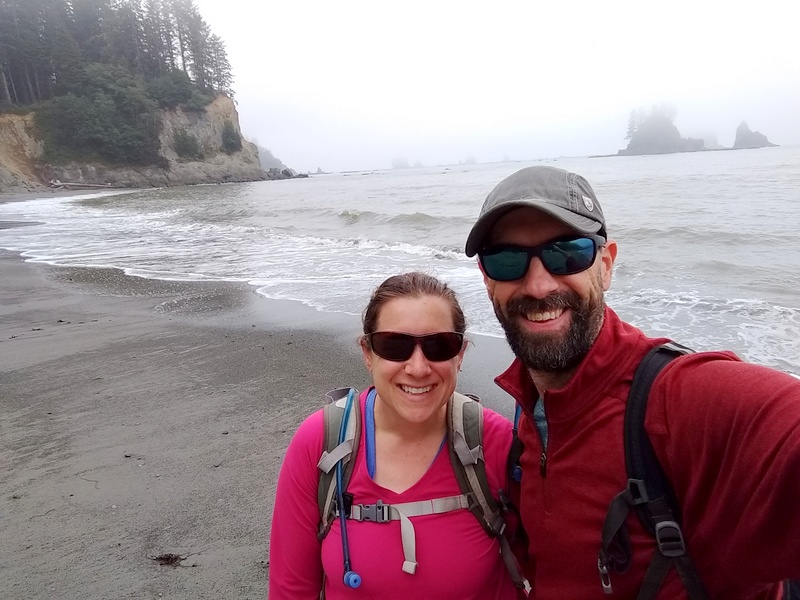
Hi!

16 comments
Thank you for such perfect descriptions and beautiful photos. I moved from the PNW to Arizona last year and really miss the forest and water.
That’s a big change! As much as I love Arizona, I do find myself missing the forest after a long winter in the desert.
Your article has made this a “must visit destination” for us! Thanks for a an excellent vicarious and very intriguing visit. Good article.
Yes! This area should absolutely be a “must visit”. There is a lot to discover around here.
Love your photography!
Thank you!
WOW – great photos of the WA beaches, which are not quite as easily accessible as the OR Coast. But so worth the effort for the personal experience. I’d say our favorite hikes was the Ozette Triangle, you’ll need time and tides to cooperate tho. You are certainly doing a great job of showing the beauty of the OP.
You are spot on about the accessibility of the WA beaches – at least on the Olympic Peninsula. We found that most required at least some walking/climbing to reach. I kind of like that it keeps away the masses, but on the other hand, I feel bad for those who are not physically able to reach them because it’s such a shame to miss all that beauty! I have heard great things about the Ozette Triangle. We are planning a backpacking trip for next summer that will hopefully include that stretch of coast!
You guys take the best selfies–helps to have a husband with long arms! Those were some steep climbs–but that view–love the Washington coast but as you said, the drizzle/fog starts to wear.
Haha! Thanks! The long arms help a lot. You will notice that I am never the one taking those photos :)
Hi! What an exciting up and down hike with amazing views. I love the fog along the coast although seeing the sun occasionally is a must. Your pics of the stacks in the mist are wonderful. That green anemone is so bright! We love the PNW and I’m already looking forward to being back next summer :-)
It was a very exciting hike, and while I always prefer sun, I will admit that seeing the sea stacks in the fog was pretty cool. We are also looking forward to the PNW next summer. There is so much here to see that we need to come back and do it all over again!
This looks amazing! Those fog shots are so moody. We’re heading to the Canadian Rockies in a few weeks and have been closely monitoring the smoke forecasts. I hope it starts to clear up.
The fog really sets the scene around here! The smoke has cleared out near Seattle but they say it’s coming back tomorrow :( Hoping that it clears out for good so you get to enjoy those gorgeous Canadian Rockies!
That hike reminds me of the hike to Shi Shi Beach and Point of Arches. The hikes along the coast in Olympic National Park are rugged, but so much fun! I’m putting this one on our list for next time. Beautiful photos in the fog and mist. “Oh come on, you didn’t expect bright and sunny, did you?” LOL!
Stay tuned for our next post where we hike to Shi Shi beach! I am in complete awe of this coastline. It really is like nowhere else on earth and we feel pretty lucky that we get to explore it in person.