Moab is a busy little town. Drive down main street any given day and you’ll see sidewalks clogged with tourists, hippies, and dirt-loving, OHV driving, four-wheeling enthusiasts. Some say it’s too busy. Too much traffic, too many people competing for camping spots and hotel rooms, too long of a wait at restaurants, too many hikers on the popular trails….and on and on.
Personally, I love it. It’s great to see a small town with a thriving economy and vibrant culture. The amount of towns we pass through while traveling around the country that are full of boarded up storefronts and run down businesses is frankly quite appalling. When the only store in town is a Dollar Store chain, and the only place to buy groceries a Walmart, I can’t help but feel sad for the people who live there. If an influx of tourists is what it takes to make a town successful, can we really look down on it because it took us five extra minutes to drive to the grocery store?
One of the reasons why Moab is so busy is because it has a lot going for it. Aside from the two national parks, there’s world class mountain biking, a thriving rock climbing scene, amazing hiking, and of course, tons and tons of 4WD roads to tear it up on with your Jeep/Razor/dirt bike. We love Moab for all those reasons (maybe that last one not so much) and did our best to take advantage of everything there is to do during our three week stay.
Hiking
Aside from the hikes I’ve already written about (Hidden Valley & the Chesler Loop), we did a few more of note around Moab. First was the Corona Arch which we hiked up to with new friends and RVers, Brittany and Nick. It was our second time hiking this trail, but the delight when the arch comes into view was no less than the first time around.
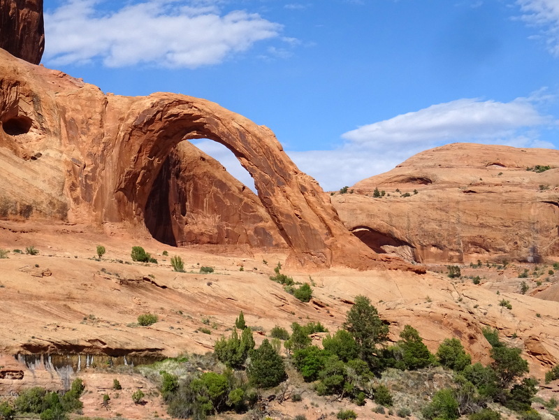
Corona Arch
Next we took an impromptu hike on the network of 4X4 trails in our backyard. What started off as a short stroll turned into a 8-mile backcountry adventure in search of an elusive arch. We followed a wide dirt road to the edge of Arches N.P. and then blazed our own trail into the park near where the arch was supposed to be.
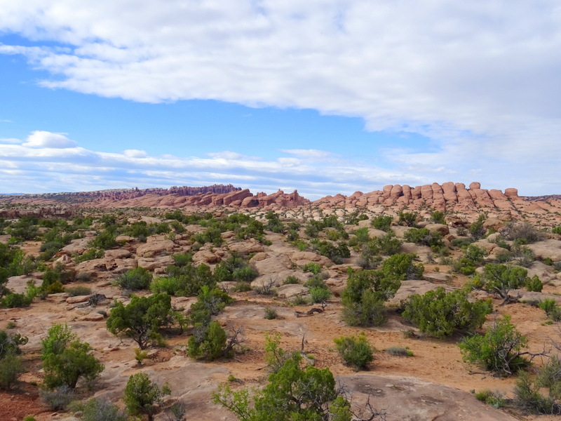
Heading off trail in search of an arch
There’s no fence on this edge of the park, just a boundary marker sign.
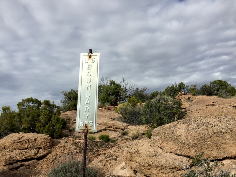
Don’t worry, we flashed the sign our America the Beautiful park pass :)
The terrain map on our handheld GPS includes trails and other landmarks like arches. It indicated an arch only a mile from where we left the trail, but despite scrambling around the massive slickrock fins for quite awhile we never found anything that even remotely looked like an arch. Oh well, it was still fun to explore an area of the park that most people never see.
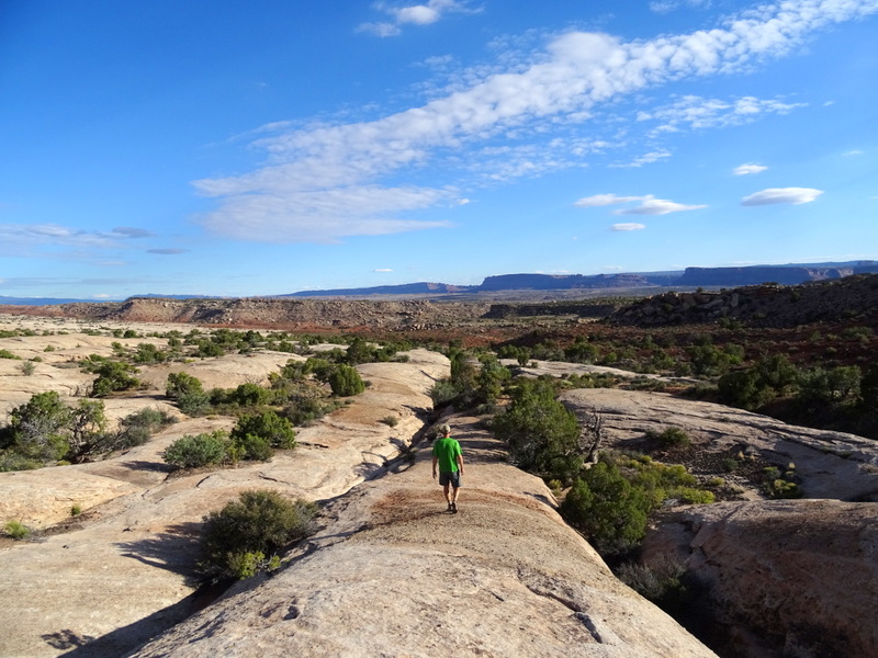
Taking the road less traveled
A few days later Tim proposed a full moon night time hike up to the famous Delicate Arch. I’m not at ALL a night person, preferring to either be lounging on my couch or in my bed by 9pm, but even I couldn’t say no to this idea. We started on the trail a little after 9, and for the first half mile passed a steady stream of hikers coming down from enjoying sunset at the arch. After that we had the trail virtually to ourselves, which is something you will never experience during daylight hours. The moon was so bright we turned off our headlamps for most of the trail. Hiking up the long hill of slickrock with the moon lighting the way is an experience I will not soon forget.
When we reached the arch it was even more impressive bathed in moonlight then when we last hiked up here during the day. There were only a handful of other people enjoying the view, and everyone seemed to share the same feeling of awe and respect for the sight before us (except for that one lady with a loud, nasally voice who went on and on…but we won’t let her spoil the memory). While we don’t have the right equipment or knowledge to take good quality night time photos, Tim managed to get one shot that kind of shows what it looked like.
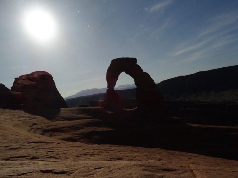
Full moon delicate arch — looked better in person :)
Finally, we did one more hike inside this park. The Devil’s Garden Loop was another repeat for us, but we mixed it up this time by driving the back way into the park on Salt Valley Road.
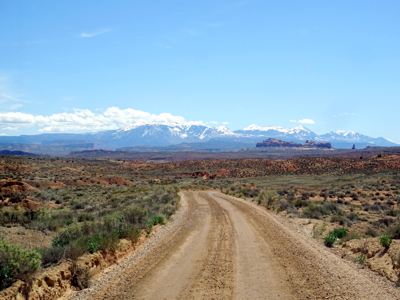
Salt Valley Road
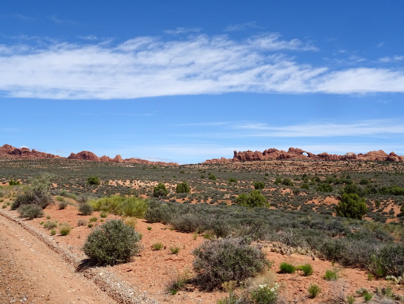
Landscape Arch in the distance
Predictably, the trail was overflowing with people. It thinned out after the first few miles though, and once we reached the Double O arch and turned onto the primitive trail for the return journey it was only minimally busy. I wrote a long description of the hike with lots of photos last time if want to read more.
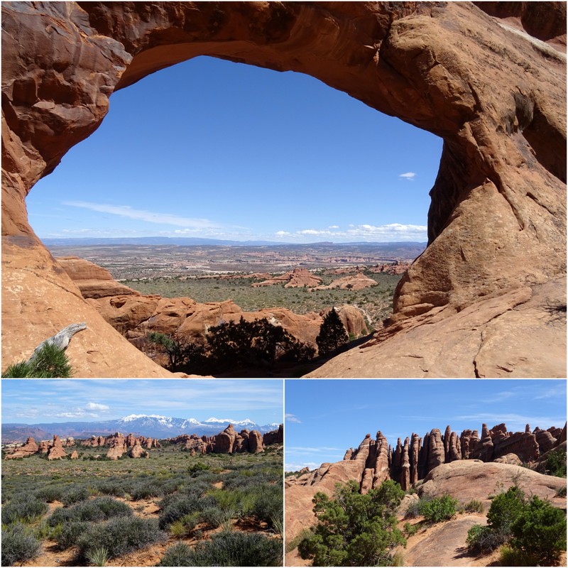
Devil’s Garden Trial
Biking
I’ve mentioned before how I’m a timid kind of mountain biker. It’s not something I have a lot of experience with, and I’m working hard to improve both my skills and confidence level. Moab is known as a popular mountain biking area…and frankly that scared me. I envisioned difficult trails full of impossibly skinny, spandex clad twenty-somethings snickering as I struggled to ride over the rocks and up the hills. While I’m sure there is some of that to be found (the hard trails, not the snickering part — mountain bikers seem to be a very accepting group), there are also a huge variety of trails suitable for all skill levels in the area.
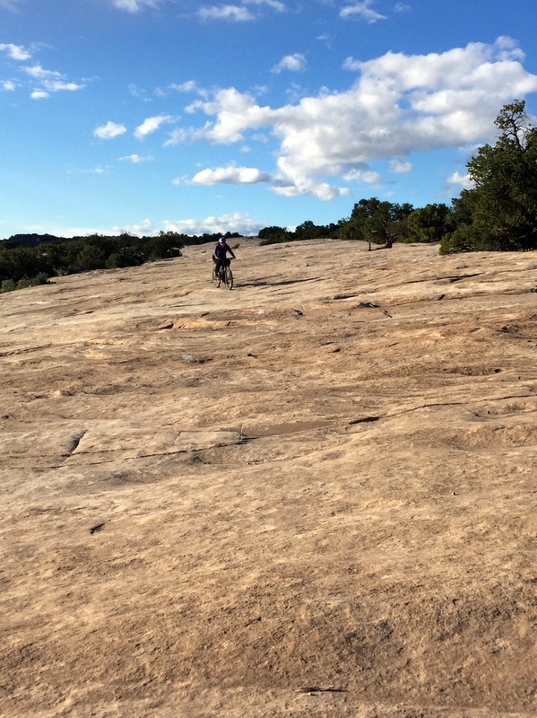
That’s me!
I’m happy to report that by the end of our three weeks I had vastly improved and was riding up and down obstacles that once would have caused me panic. Here are the three trail systems we rode and enjoyed:
Moab Brand Trails
This system of trails a few miles north of town offers a great variety of track with some killer views. We rode here twice. The first time we did the 8-mile Bar-M Loop. Loved it! There was some up and down, a bit of slickrock riding, and lots of smooth, wide track. Oh, and those views can’t be beat.
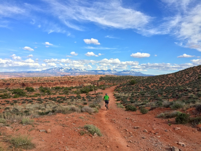
Bar-M Loop
The second time we rode the Lazy and EZ trails in a loop, and then did the Rusty Spur to add a few more miles. The Lazy and EZ were really fun with only a few rocky spots and lots of rolling up and down terrain. Just be sure to ride the trail in the recommended direction (counter clockwise) for the most enjoyment.
The Rusty Spur Loop is probably the easiest trail here with no rocks and more amazing views. I especially enjoyed the wildflowers.
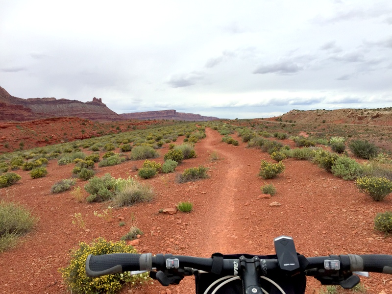
On the Rusty Spur Loop
I first learned about biking at Dead Horse Point State Park from the Metamorphosis Road Blog. They wrote a post about a trail that snaked along the rim with some really amazing canyon views. The way Lisa writes about biking leads me to believe that we share a similar biking philosophy, so I always trust that if she likes a trail I will too. So far so good :)
We rode here twice and managed to hit nearly every trail in the park. First we did the Big Chief trail combined with the Great Pyramid and Raven Roll to make a loop of easy and intermediate rated trails. In general, I would say the trails here are a bit more rocky than the Moab Brand Trails, but the mix of smooth single track, slickrock, and sandy sections is fun for even the most beginner riders. I only encountered a handful of areas where I had to hike-a-bike. And once again, the views can’t be beat.
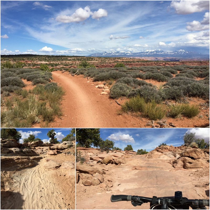
Smooth, Sandy & Rocky
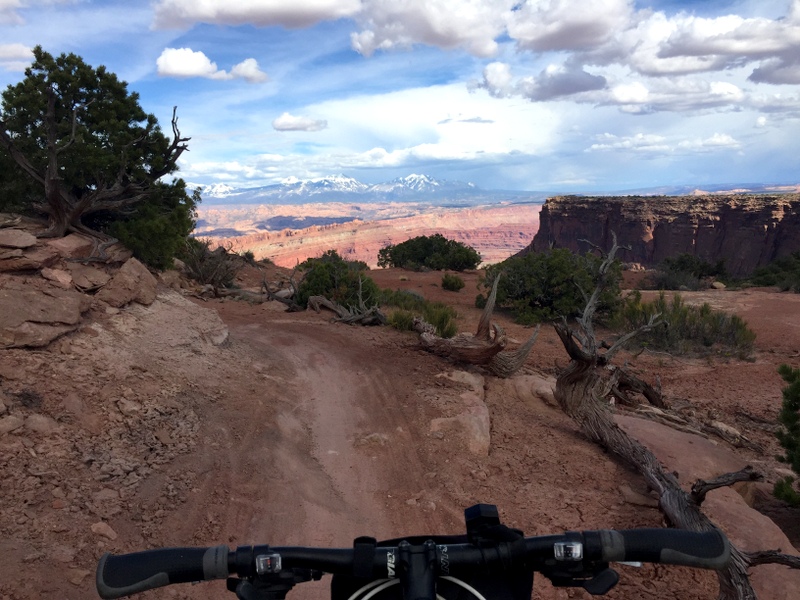
Riding towards the light
For our second visit to Dead Horse we rode a long loop on the other side of the park. This time we upped our game and tackled a few trails that were rated intermediate/advanced. At first I was scared of the little black diamond that indicates an advanced trail, but Tim took off in that direction and it was either stay behind or follow. I surprised myself by finding them not too difficult.
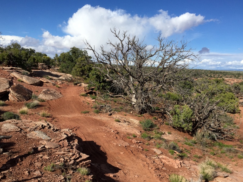
Whiptail Trail
My advice if you ride on this side of the park is to start on the easy trails before you cross the road. We started on Intrepid and rode to Raven Roll, Crossroads, Whiptail, Twisted Tree, and finished with the Pair side of the Prickly Pair loop. As you can see, the weather was quite wacky with sun, rain, dark clouds and more sun.
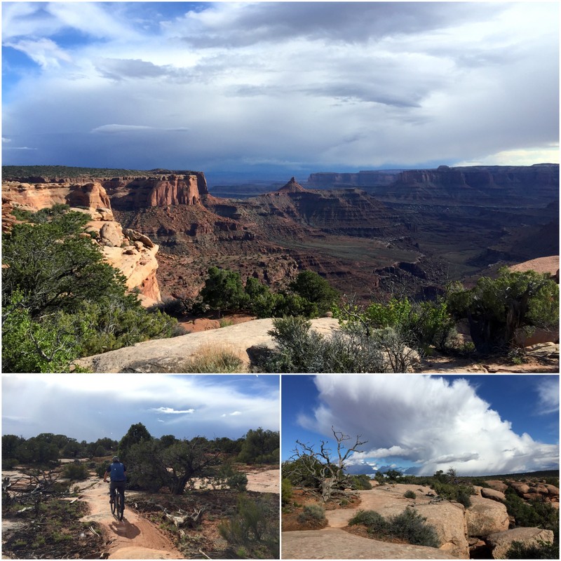
All the weather in one bike ride
Starting with the easy trails helped me gain my confidence, and by the time we hit the harder rated trails I was powering up and down those rocks like a pro. The last two trails had a few sections with big rocks and tight corners that had me off my bike and on my feet, but even so I loved this loop and can’t wait to ride it again.
Klondike Bluffs Trails
The last trail system we rode was the Klondike Bluffs Trails. This is a popular place to ride with a large network of single track mountain bike trails mixed in with some 4WD roads for Jeeps and OHVs. We choose to ride the 9.6 mile Klondike Bluffs Trail that climbs up to the Arches NP border where you can park and hike into the park. When I say it climbs up, I mean it climbs up! It’s not a very technical trail, but it does climb 800 feet in 4 four miles. Most of that uphill is ridden on a massive stretch of slickrock.
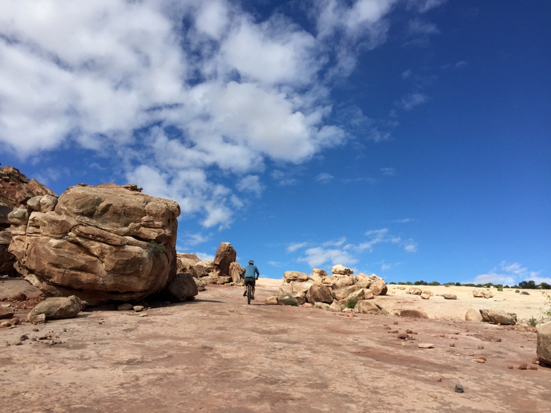
Uphill…
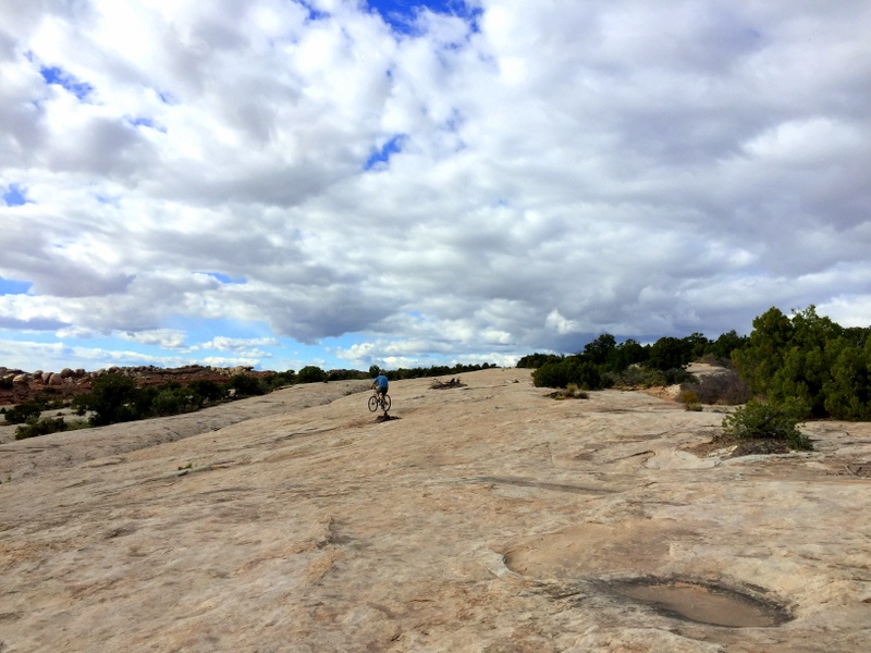
More uphill…
At the top we parked our bikes at the entrance to the park (no bikes allowed) and hiked up a short trail to a fantastic view of the Klondike Bluffs.
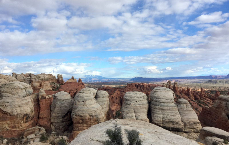
Klondike Bluffs
The way down was a blast.
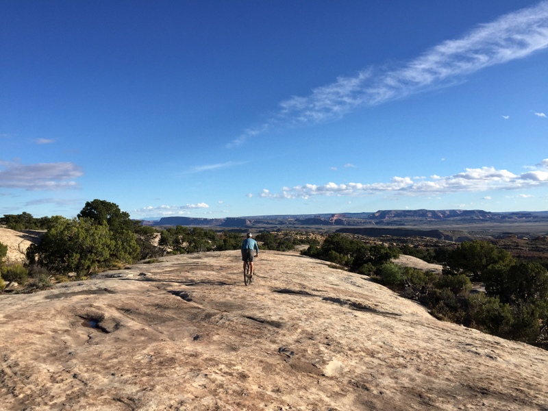
Going down
Before we took off down the mountain of slickrock we remembered reading about some dinosaur tracks embedded in the trail. So we kept an eye out and sure enough, near the bottom of the long hill we spotted some rock rings. A quick look inside reveled about a dozen dinosaur tracks. Cool!
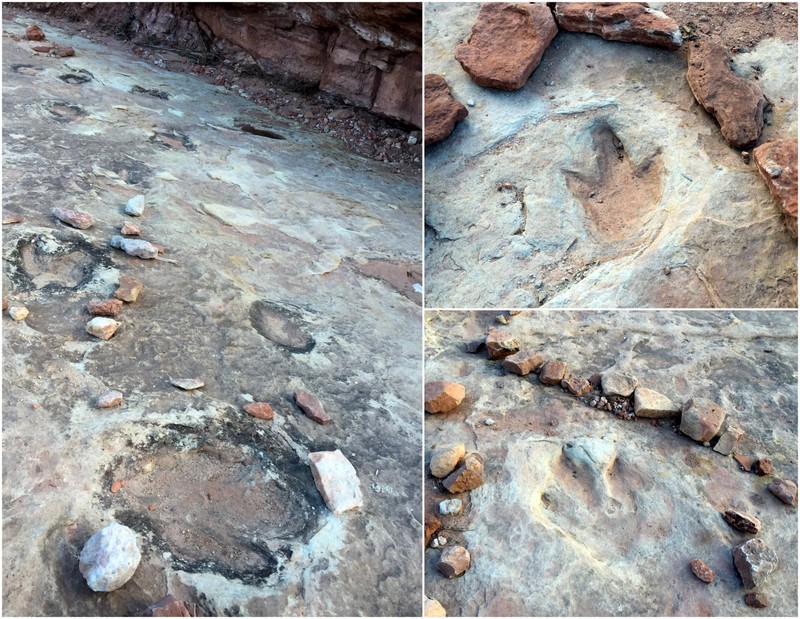
Make way for dinosaurs
Boondocking
There are a multitude of camping options in and around Moab. From high end resorts with landscaping and perfectly level cement pads, to dirt pull-offs deep in the back county, and everything in between. You’ll find it all in Moab. You’ll also find lots and lots of people camping in RVs and tents which makes getting a good spot a bit of challenge. We hung out with some folks who stay at the Portal RV Resort every year (probably the nicest RV park in town), and they told us the only way to get a spot is to reserve a year in advance.
Last time we split our three week stay between the Goose Island BLM Campground and the Sand Flats Recreation Area. We liked both quite a bit, but this time decided to try our luck at some boondocking.
The first place we tried is a super popular boondocking spot only a few miles north of town. Outside of Quartzite or Borrego Springs, I don’t think I’ve ever seen this many RVs squeezed into one boondocking area. The difference here is that instead of wide open land like you find in southern AZ and CA, Willow Springs is a single dirt road with multiple of pull-offs wedged between sage brush and low growing pinyon pines. There are also a number of deeply rutted side roads with some great spots…if you can get to them. In an effort to keep our rolling home in one piece we stuck to the main road and ended up in the only pull-off we could find that had room for us.
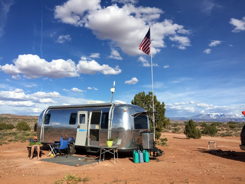
Our first boondocking spot. You can see the dusty road right behind us. Lots and lots of OHV traffic going by.
If you come here in the spring or fall, don’t expect to be alone. The first night we shared our spot with two vans, the second night a large class A joined us, and later in the week my mom and step-dad somehow managed to shoe horn their trailer in the spot with us. Aside from the crowds, the biggest downside was the dust and noise from the dirt road. At the end of the road is a very well used network of trails that draws a near steady stream of cars with bikes and noisy OHVs that come zooming past.
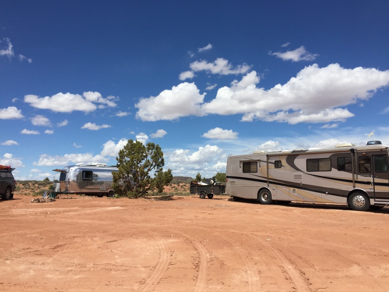
Normal boondocking etiquette goes out the window when 100 RVs are competing for 50 spots
It wasn’t all bad. We managed to position ourselves so we had a nice front yard, and behind us were some great mountain views. Also, this spot is really convenient to town. And it’s free which makes it hard to complain too much.
Dalton Well Road
After our family arrived we decided it would be more enjoyable in a spot with space to spread out. Earlier in the week we had scouted out some great spots just a few miles north on Dalton Well Road. Unlike Willow Springs, this area is more open with tons of flat(ish) spots where RVs of all sized could fit.
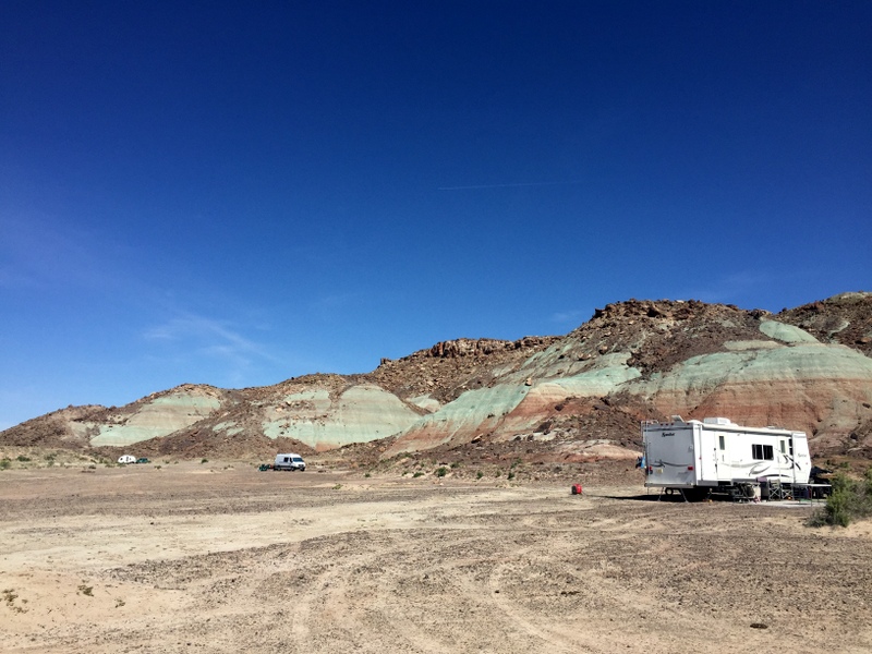
Lots of room to spread out on Dalton Well Road
The big issue here is that to reach the boondocking spots you must cross a deep, sandy wash. It’s about 100 feet across, and depending on the last time it rained, filled with several feet of very soft sand. The first time we drove out there with just the truck and I thought there was no way we could get the Airstream across. But then we came upon multiple groups of large trailers and fifth wheels, most towing additional trailers with OHVs, who had all crossed it. If those bigger, heavier RVs made it, why couldn’t we?
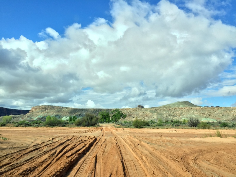
The sandy wash (this was taken after is rained so it’s looking a bit more solid than when dry)
It turns out we could. With the truck in 4WD and a little momentum we made it across with no problems. From there it was a short drive past the first wide open area where most people park, and around the corner to a series of large spots that back up to some really interesting hills. There was more than enough room for both of our trailers, and here we enjoyed nearly two weeks of peace, quiet, and stellar views.
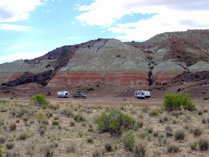
Ahhh…now that’s more like it.
Like Willow Springs, there is a trail system that’s accessed from this road, but our spot was far enough from the main road that we weren’t bothered by the noisy OHVs and occasional truck on their way to the trails.
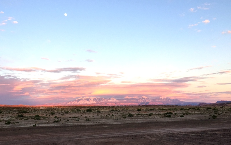
Sunset glow over the La Sal Mountains
The downside to this boondocking area is that the seemingly solid ground turns to a thick layer of mud when it rains. During our last week it rained on and off for 4-5 days, and by the end of the week things were really sloppy. When it got to the point where we couldn’t even walk around without getting a thick layer of mud stuck to our shoes we decided to bail. After 24 hours of rain the wash had tuned into a river, but we made it across with the Airstream just fine. In fact, the wet sand was probably easier to drive through than the soft, dry sand. We did end up with a very mud-splattered house though.
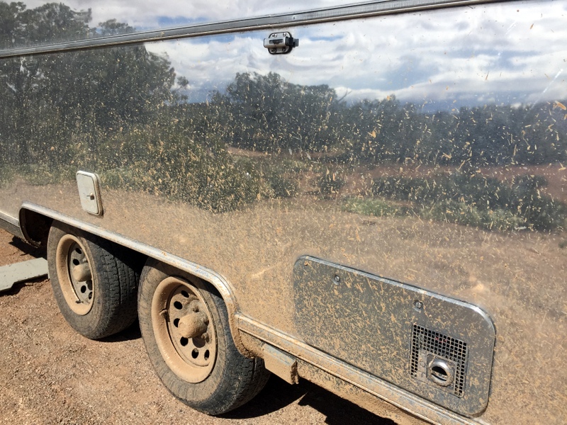
This is what an Airstream looks like after is crosses a muddy, water-filled desert wash.
In summary, this is a great spot with lots of open space and relative quiet, however, it requires that you have 4WD. We made it across fine with our Airstream, but that doesn’t mean you will too. My advice would be to park in the big lot right before the wash, unhook and drive it first without your RV.
Also, a quick note on cell service. Both the boondocking spots mentioned had strong Verizon & AT&T signals. However, those strong signals only had moderate to slow speeds. I suspect that whatever tower we were hitting simply didn’t have enough capacity to support the massive influx of people using them. We did pretty good with our booster, and were happy to have both carriers so we could switch back and forth when one crawled to halt, but my mom was having a really hard time with the un-boosted Verizon on her phone. Time for a cell tower upgrade in Moab.
Other Boondocking Options
There are a few other boondocking options that we came upon. One is the Klondike Bluffs Road (called BLM 142 on Google Maps). This long, bumpy dirt road is just north of Dalton Well. There are a good number of spots both right off the road and farther from the main drag. Again, there’s a trailhead on this road, so you can expect some traffic, but both times we went over there it seemed far less crowded than Willow Springs.
The other road where we saw people camped was Mill Canyon Rd. We never drove down the road, but could see some clusters of RVs off in the distance from the main road. It might be worth checking out if Willow Springs is full and you can’t make it across the wash on Dalton Well.
This is not a boondocking area, but worth mentioning anyway. We ended up here for two nights after fleeing the mud pit on Dalton Well. This BLM campground has 56 first come, first serve sites for $15/night (half with the oldies pass). There are no hook-ups, no showers, no drinking water, and no dump station. But the sites are generous in size and the location puts you near both Canyonlands NP and Dead Horse SP.
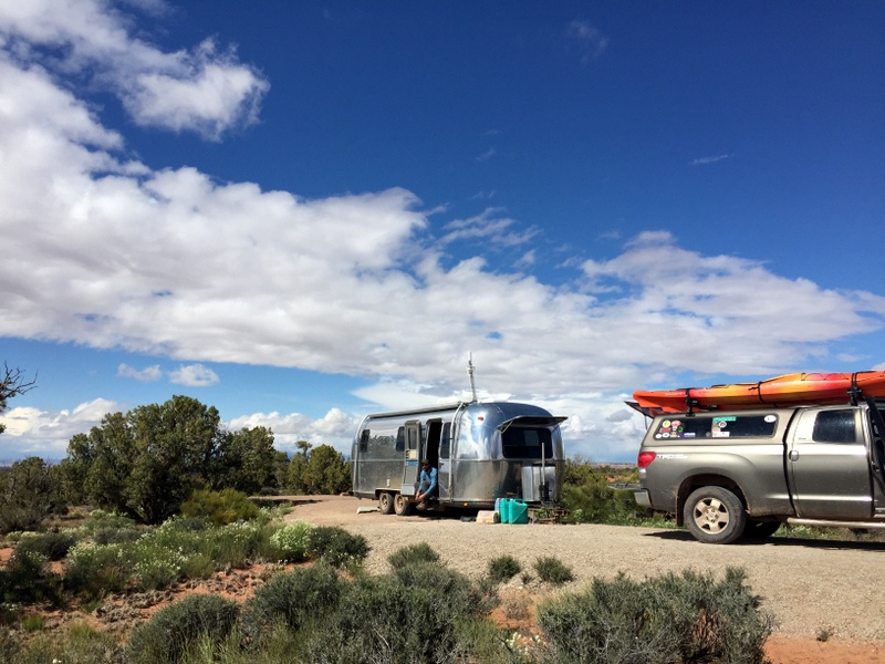
Our spot at Horsethief CG
We arrived around 10am on a Friday morning and found a handful of open sites. By noon the campground was full, and I only saw one spot open up on Saturday morning, so my advice for getting a site would be to arrive on a weekday morning.
Phew! I think that about covers our time in Moab. Well…except for the fun evening we had with a large group of fellow RVers, a spontaneous meet up with an Airstreaming couple at Dead Horse SP, the delicious meal and drinks we enjoyed at The Atomic, and of course, all the fun we had with our family. But I have to wrap this up sometime!
Up next: A week in sunny Colorado.

17 comments
What a terrific wrap up of hiking and biking options in Moab! We also did a full moon hike to Delicate Arch several years ago and it was a magical experience. Would love to do it again. We enjoyed the same Moab bike trails as you — but we need to get out and experience biking at Dead Horse SP. I trust your biking advice. :-)) And Klondike Bluffs — never been there — so gorgeous! As always, your photos are fantastic.
I feel really lucky that the timing worked out for our full moon hike. It was truly magical! You can definitely trust my biking advice — I’m not hardcore at all :) The Dead Horse trails were by far my favorite.
It certainly is a super fun area! After the car show was over this past weekend, it was amazing how quiet the town was. It seemed as if the vacationers all went home for a few days.
Rehiking Corona with friends is always a wonderful time. Their reaction to the surrounding beauty is priceless!
That was one very dirty Airstream you have there!
Glad to know the crowds thinned out some. We’re planning our next visit for late fall in a few years and it will be interesting to compare the experience to the spring time.
I agree, it’s really nice to see a small doing good! I imagine in the dead of winter it’s pretty darn quiet around there so they’ve got to make the most of it doing the mild seasons.
Glad I could point you towards some fun and “easy” bike trails! I love how much Moab has to offer!
Yeah, I bet it’s pretty quiet in winter and mid-summers when the temps climb above 100. Thanks again for the excellent biking recommendations!
Album of Arches at Night: https://www.flickr.com/photos/dsphotoscapes/albums/72157652099390606
I love spending time in Arches at night! After reading your story, I thought you might enjoy these night shots I have taken after dark using “light painting” with a 15 million candlepower spotlight.
Thanks so much for sharing these gorgeous photos. You are very talented. It’s a pretty cool place to be at night that’s for sure.
Beautiful photographs! I really enjoy your blog and all the great information you provide. Happy Trails.
Pamelab in Houston
Thanks so much Pamela!
Excellent commentary in the second paragraph. Keep on riding that bike! The rock builds confidence.
Greg
Yup, the first time I had to ride over a rock I was terrified, but by the time we left Moab I was going over them like a pro!
Wow! What a great time in such a beautiful area. Love that you’re getting lots of bike time. Beautiful full moon pic, nice catch! That mud had to “hurt” after all the polishing :-( We’re thinking Moab in the fall sounds great – some day!!
We are in Moab also and enjoying the area. Say hi if you see us LOL
Hi I am new to your blog. We just bought an airstream and have kayaks too. I noticed you carry your kayaks on top of your truck/cap. What type of rails are you using? Is it hated to get the kayaks up there? We have fishing kayaks that weigh about 100# and 80#. Think we could get them up there? Love your blog.
Thanks Gina
The rack we have on top is a Yakima bars with Even Keel Yakima Kayak Saddles. I wrote a blog post all about our kayak year last summer. http://www.watsonswander.com/2015/kayak-gear/ We have a system for getting them up there that involves me on a stepladder (I’m only 5’2″) in the back and Tim lifting the front. Our kayaks weigh 55 lbs each, so the weight is not too bad with the two of us lifting them. If you can both lift them above your heads then you can probably get them on the top of your truck. You might want to consider is a Hullavator Thule rack that assists you when putting them up and taking them down. Have fun!
Sorry I meant is it hard to get them on top of the truck?
Gina